Location Overview
The 2Degrees S_Taumarunui North location is 19m high, has 2 licences associated, and is capable* of 3G UMTS and 4G LTE.
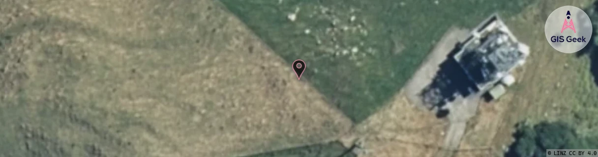
Location Raw Name: (MNW-036-028-A)[VTNN]_S_TAUMARUNUI NORTH
GIS Geek | LINZ | GMaps | Street View
Login required to upload photos or suggest corrections.
Closest Towers
| Provider | Location Name | Distance | Bearing |
|---|---|---|---|
| Spark | Pukepoto | 43m | 97.55 |
| OneNZ | Taumarunui North | 75m | 184.7 |
| 2Degrees | Taumarunui | 14.64km | 164.7 |
| RCG | RMWTGV - Taringamotu Valley | 8.72km | 118.37 |
Licence Details
Close Cell IDs 2Degrees MMC: 530 MNC: 24
| Radio | Area | Cell | Distance from tower | Bearing from tower | Samples |
|---|---|---|---|---|---|
| UMTS | 22212 | 356599 | 13.32km | 165.91 | 53 |
| UMTS | 22212 | 376595 | 14.36km | 162.3 | 4 |
| GSM | 212 | 28913 | 14.42km | 162.53 | 1 |
| GSM | 212 | 28915 | 14.42km | 162.53 | 1 |