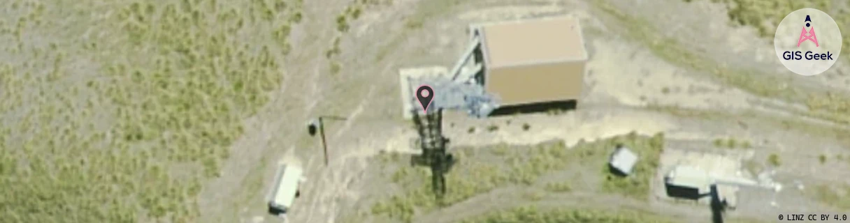
Location Overview
The Spark Station Peak location is 20m high, has 4 licences associated, and is capable* of 3G UMTS and 4G LTE.
GIS Geek | LINZ | GMaps | Street View
Login required to upload photos or suggest corrections.
Closest Towers
| Provider | Location Name | Distance | Bearing |
|---|---|---|---|
| Spark | Otematata | 35.63km | 301.07 |
| OneNZ | Kurow | 448m | 120.51 |
| 2Degrees | Kurow | 32m | 345.97 |
| RCG | RCTWHR - Waihaorunga | 21.06km | 85.7 |
Licence Details
Close Cell IDs Spark MMC: 530 MNC: 5
| Radio | Area | Cell | Distance from tower | Bearing from tower | Samples |
|---|---|---|---|---|---|
| LTE | 28171 | 354681 | 7.2km | 134.91 | 141 |
| UMTS | 28398 | 352633 | 6.95km | 282.69 | 19 |
| UMTS | 28398 | 1428301 | 8.83km | 141.21 | 1 |
| LTE | 28171 | 354693 | 11.15km | 291.1 | 80 |
| UMTS | 28398 | 1428305 | 10.93km | 286.05 | 2 |
| UMTS | 28398 | 1428302 | 11.91km | 288.91 | 1 |
| UMTS | 28398 | 1877056 | 13.84km | 130.1 | 16 |
| UMTS | 21401 | 1428332 | 12.37km | 288.73 | 1 |