Location Overview
The Spark Waldronville location is 15m high, has 7 licences associated, and is capable* of 3G UMTS, 4G LTE and 5G.
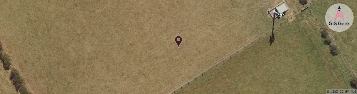
GIS Geek | LINZ | GMaps | Street View
Login required to upload photos or suggest corrections.
Closest Towers
| Provider | Location Name | Distance | Bearing |
|---|---|---|---|
| Spark | Waldronville | 98m | 124.64 |
| OneNZ | Waldronville | 92m | 126.12 |
| 2Degrees | Abbotsford | 1.66km | 44.5 |
| RCG | ROTOUT - Outram | 16.29km | 295.6 |
Licence Details
Close Cell IDs Spark MMC: 530 MNC: 5
| Radio | Area | Cell | Distance from tower | Bearing from tower | Samples |
|---|---|---|---|---|---|
| UMTS | 28391 | 1882414 | 690m | 283.36 | 4 |
| LTE | 28391 | 1875649 | 1.06km | 266.05 | 1 |
| UMTS | 28391 | 1882415 | 1.6km | 353.48 | 2 |
| UMTS | 23411 | 1564729 | 2.05km | 353.62 | 5 |
| UMTS | 23411 | 1564732 | 2.08km | 2.53 | 2 |
| UMTS | 28391 | 1564729 | 2.09km | 352.06 | 3 |
| UMTS | 28391 | 1560180 | 2.1km | 11.5 | 3 |
| UMTS | 23411 | 1560180 | 2.1km | 347.97 | 1 |
| UMTS | 28391 | 1564732 | 2.02km | 334.93 | 1 |
| LTE | 28181 | 356473 | 1.8km | 306.98 | 3 |
| UMTS | 23411 | 1558080 | 2.15km | 338.36 | 4 |
| UMTS | 28391 | 1566050 | 2.29km | 341.46 | 2 |
| LTE | 2301 | 356475 | 2.25km | 329.15 | 103 |
| LTE | 28181 | 356475 | 2.09km | 314.79 | 6 |