Location Overview
The 2Degrees Temuka location is 25m high, has 5 licences associated, and is capable* of 3G UMTS and 4G LTE.
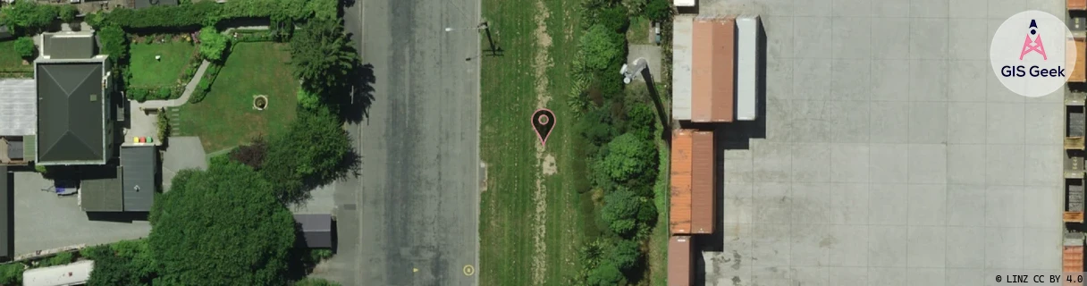
Location Raw Name: (CAN-064-004-A)[TEMU]_TEMUKA
GIS Geek | LINZ | GMaps | Street View
Login required to upload photos or suggest corrections.
Closest Towers
| Provider | Location Name | Distance | Bearing |
|---|---|---|---|
| Spark | Temuka | 435m | 205.62 |
| OneNZ | Temuka Town ONZ S4TET | 16m | 48.7 |
| 2Degrees | Clandeboye | 8.9km | 68.06 |
| RCG | RCTWTH - Waitohi Hill | 19.47km | 328.94 |
Licence Details
Close Cell IDs 2Degrees MMC: 530 MNC: 24
| Radio | Area | Cell | Distance from tower | Bearing from tower | Samples |
|---|---|---|---|---|---|
| UMTS | 22216 | 432423 | 701m | 116.09 | 3 |
| UMTS | 22216 | 452417 | 1.06km | 52.47 | 2 |
| UMTS | 22216 | 432425 | 1.68km | 336.85 | 56 |
| LTE | 62216 | 1729028 | 1.7km | 207.88 | 42 |
| UMTS | 22216 | 452419 | 2.21km | 207.68 | 112 |
| UMTS | 22216 | 452421 | 3.46km | 349.59 | 146 |
| UMTS | 22216 | 432424 | 3km | 231.84 | 50 |
| UMTS | 22216 | 976167 | 4.17km | 208.45 | 29 |
| LTE | 62216 | 1913702 | 4.93km | 207.13 | 8 |
| UMTS | 22216 | 955681 | 5.89km | 205.75 | 20 |