Location Overview
The 2Degrees Lyttelton Tunnel location is 18m high, has 2 licences associated, and is capable* of 3G UMTS and 4G LTE.
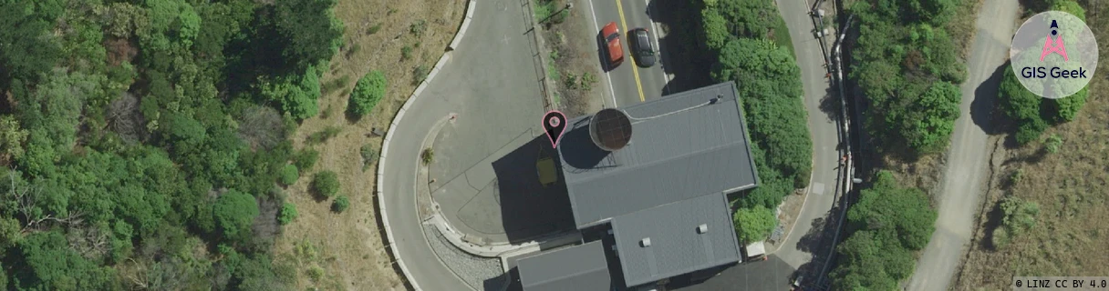
Location Raw Name: (CHC-060-119-A)[TUNN]_LYTTELTON TUNNEL
GIS Geek | LINZ | GMaps | Street View
Login required to upload photos or suggest corrections.
Closest Towers
| Provider | Location Name | Distance | Bearing |
|---|---|---|---|
| Spark | Mt Pleasant | 1.63km | 97.91 |
| OneNZ | Heathcote Valley Relocate | 273m | 347.49 |
| 2Degrees | Heathcote | 2.44km | 322.83 |
| RCG | RCTPTL - Port Levy | 12.13km | 118.91 |
Licence Details
Close Cell IDs 2Degrees MMC: 530 MNC: 24
| Radio | Area | Cell | Distance from tower | Bearing from tower | Samples |
|---|---|---|---|---|---|
| UMTS | 30002 | 182245 | 78m | 122.86 | 3 |
| GSM | 28 | 20522 | 145m | 354.08 | 3 |
| LTE | 63002 | 1884008 | 331m | 130.74 | 23 |
| LTE | 63002 | 1838083 | 500m | 147.04 | 16 |