Location Overview
The 2Degrees Otangarei location is 23m high, has 3 licences associated, and is capable* of 3G UMTS and 4G LTE.
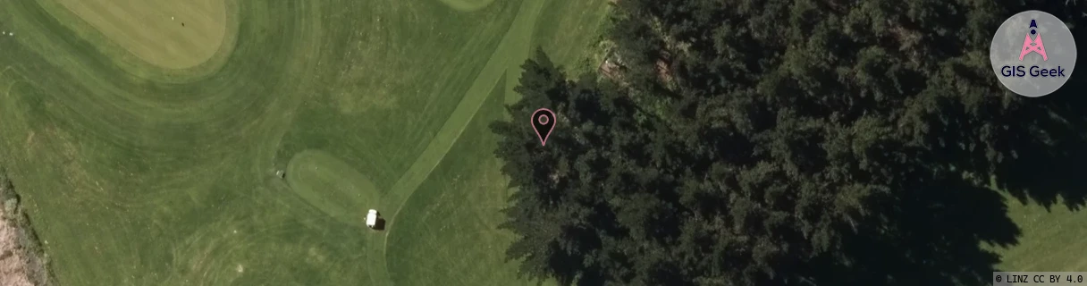
Location Raw Name: (NTH-002-008-A)[OTAN]_OTANGAREI
GIS Geek | LINZ | GMaps | Street View
Login required to upload photos or suggest corrections.
Closest Towers
| Provider | Location Name | Distance | Bearing |
|---|---|---|---|
| Spark | Tikipunga | 1.11km | 33.45 |
| OneNZ | Whau Valley | 20m | 161.56 |
| 2Degrees | Whau Valley | 821m | 178.46 |
| RCG | RNLTAH - Tahere | 10.67km | 86.57 |
Licence Details
Close Cell IDs 2Degrees MMC: 530 MNC: 24
| Radio | Area | Cell | Distance from tower | Bearing from tower | Samples |
|---|---|---|---|---|---|
| UMTS | 22202 | 533431 | 176m | 256.72 | 52 |
| UMTS | 22202 | 543436 | 183m | 242.3 | 20 |
| GSM | 202 | 19163 | 240m | 284.36 | 3 |
| GSM | 202 | 19141 | 340m | 193.12 | 1 |
| GSM | 202 | 19145 | 333m | 320.08 | 1 |
| LTE | 62202 | 1788420 | 362m | 196.3 | 200 |