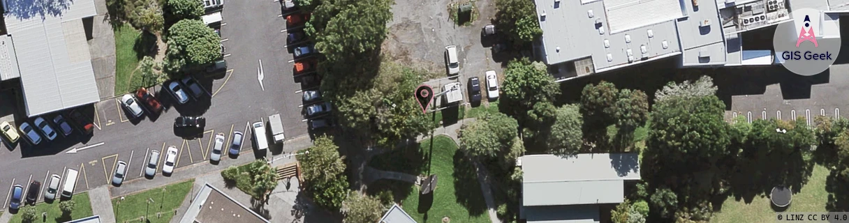
Location Overview
The Spark Te Atatu Road location is 19m high, has 8 licences associated, and is capable* of 3G UMTS, 4G LTE and 5G.
GIS Geek | LINZ | GMaps | Street View
Login required to upload photos or suggest corrections.
Closest Towers
| Provider | Location Name | Distance | Bearing |
|---|---|---|---|
| Spark | Roberts Road Shops | 1.13km | 175 |
| OneNZ | Te Atatu South 2 | 433m | 33.65 |
| 2Degrees | Te Atatu Junction | 1.06km | 35.27 |
| RCG | RAKSMR - Summit Road | 12.33km | 278.45 |
Licence Details
Close Cell IDs Spark MMC: 530 MNC: 5
| Radio | Area | Cell | Distance from tower | Bearing from tower | Samples |
|---|---|---|---|---|---|
| LTE | 1501 | 13166367 | 182m | 111.67 | 4 |
| UMTS | 18394 | 1014283 | 207m | 266.86 | 6 |
| LTE | 1501 | 13166368 | 220m | 107.64 | 6 |
| UMTS | 18394 | 1016611 | 307m | 21.38 | 10 |
| LTE | 18151 | 13166368 | 286m | 125.83 | 120 |
| LTE | 18151 | 528928 | 364m | 169.68 | 9 |
| LTE | 18151 | 13166367 | 361m | 151.66 | 112 |
| UMTS | 18394 | 1200897 | 345m | 279.85 | 3 |
| UMTS | 18394 | 1016404 | 448m | 327.8 | 9 |
| UMTS | 18394 | 1014286 | 393m | 250.79 | 6 |
| UMTS | 18394 | 1203010 | 437m | 43.8 | 1 |
| UMTS | 15301 | 1014281 | 520m | 28 | 3 |
| UMTS | 18394 | 1016401 | 489m | 227.56 | 7 |
| UMTS | 12302 | 817674 | 544m | 190.68 | 5 |
| UMTS | 18394 | 1014281 | 489m | 55.35 | 17 |
| UMTS | 15301 | 1014283 | 456m | 261.77 | 2 |