Location Overview
The 2Degrees Gondola location is 4m high, has 6 licences associated, and is capable* of 3G UMTS, 4G LTE and 5G.
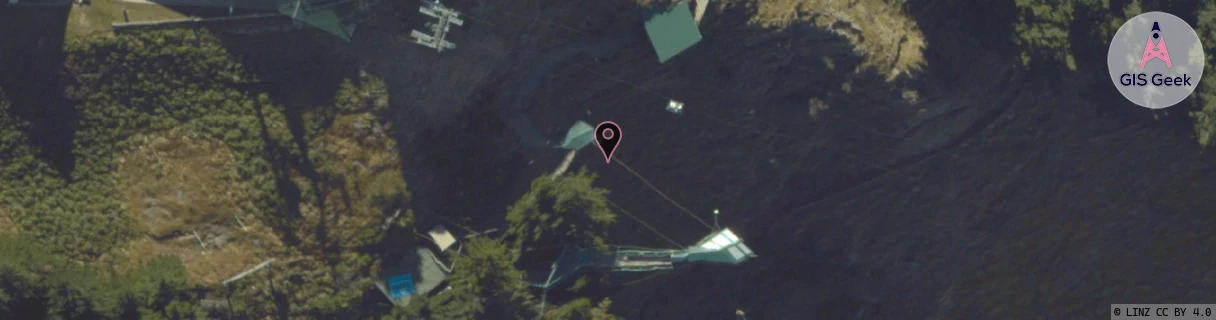
Location Raw Name: (OTG-070-002-A)[GNDL]_GONDOLA
GIS Geek | LINZ | GMaps | Street View
Login required to upload photos or suggest corrections.
Closest Towers
| Provider | Location Name | Distance | Bearing |
|---|---|---|---|
| Spark | Skyline | 66m | 341.55 |
| OneNZ | Queenstown | 78m | 12.61 |
| 2Degrees | Queenstown Central | 1.11km | 125.07 |
| RCG | ROTWQT - West Queenstown | 15.64km | 228.13 |
Licence Details
Close Cell IDs 2Degrees MMC: 530 MNC: 24
| Radio | Area | Cell | Distance from tower | Bearing from tower | Samples |
|---|---|---|---|---|---|
| UMTS | 22219 | 444541 | 508m | 139.37 | 2 |
| UMTS | 22219 | 424545 | 628m | 124.17 | 4 |
| UMTS | 22219 | 444145 | 702m | 222.79 | 3 |
| UMTS | 22219 | 444545 | 648m | 122.64 | 2 |
| UMTS | 22219 | 431993 | 725m | 134.29 | 2 |
| UMTS | 22219 | 1649926 | 893m | 175.69 | 1 |
| UMTS | 22219 | 431995 | 794m | 135.03 | 5 |
| LTE | 62219 | 1717254 | 907m | 165.54 | 15 |
| LTE | 62219 | 1692422 | 913m | 149.29 | 12 |
| UMTS | 22219 | 451995 | 981m | 167.21 | 2 |
| LTE | 62219 | 1649926 | 831m | 125.25 | 1 |
| LTE | 62219 | 1649922 | 752m | 105.98 | 1 |