Location Overview
The 2Degrees Naenae location is 19m high, has 4 licences associated, and is capable* of 3G UMTS and 4G LTE.
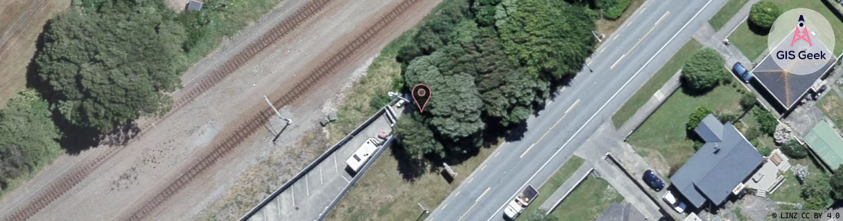
Location Raw Name: (WLG-046-008-A)[NNAE]_NAENAE
GIS Geek | LINZ | GMaps | Street View
Login required to upload photos or suggest corrections.
Closest Towers
| Provider | Location Name | Distance | Bearing |
|---|---|---|---|
| Spark | Naenae Industrial | 541m | 191.86 |
| OneNZ | Naenae West VF W5NNW | 419m | 198.11 |
| 2Degrees | Avalon | 1.13km | 354.04 |
| RCG | RWLMOV - Moores Valley | 7.18km | 153.47 |
Licence Details
Close Cell IDs 2Degrees MMC: 530 MNC: 24
| Radio | Area | Cell | Distance from tower | Bearing from tower | Samples |
|---|---|---|---|---|---|
| UMTS | 20001 | 171663 | 153m | 78.63 | 1 |
| UMTS | 20001 | 1623810 | 153m | 78.63 | 1 |
| UMTS | 20001 | 171270 | 179m | 102.97 | 5 |
| UMTS | 20001 | 1623812 | 268m | 170.7 | 1 |
| LTE | 62001 | 1623814 | 416m | 294.33 | 27 |
| LTE | 62001 | 1623810 | 462m | 49.37 | 50 |
| LTE | 62001 | 2664452 | 531m | 335.55 | 50 |
| UMTS | 20001 | 171265 | 569m | 198.57 | 8 |