Location Overview
The 2Degrees Petone location is 23m high, has 4 licences associated, and is capable* of 3G UMTS and 4G LTE.
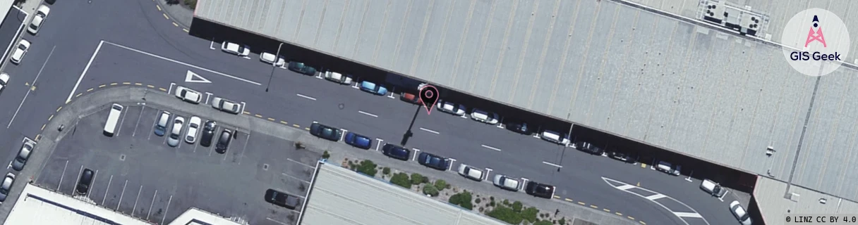
Location Raw Name: (WLG-046-051-C)[PTNE]_PETONE
GIS Geek | LINZ | GMaps | Street View
Login required to upload photos or suggest corrections.
Closest Towers
| Provider | Location Name | Distance | Bearing |
|---|---|---|---|
| Spark | Petone | 490m | 263.16 |
| OneNZ | Petone Central ONZ W5PNC | 44m | 294.37 |
| 2Degrees | Petone North | 677m | 60.96 |
| RCG | RWLNGR - North Grenada | 7.52km | 0.77 |
Licence Details
Close Cell IDs 2Degrees MMC: 530 MNC: 24
| Radio | Area | Cell | Distance from tower | Bearing from tower | Samples |
|---|---|---|---|---|---|
| LTE | 62001 | 1840130 | 167m | 13.74 | 30 |
| LTE | 62001 | 1840132 | 217m | 215.76 | 26 |
| LTE | 62001 | 1627398 | 198m | 72.98 | 94 |
| GSM | 17 | 19352 | 249m | 207.5 | 27 |
| LTE | 62001 | 1626626 | 231m | 47.17 | 56 |
| UMTS | 20001 | 152359 | 292m | 344.47 | 34 |
| LTE | 62001 | 1840234 | 301m | 199.7 | 25 |
| LTE | 62001 | 2783241 | 273m | 286.17 | 24 |