Location Overview
The 2Degrees Geraldine location is 45m high, has 5 licences associated, and is capable* of 3G UMTS and 4G LTE.
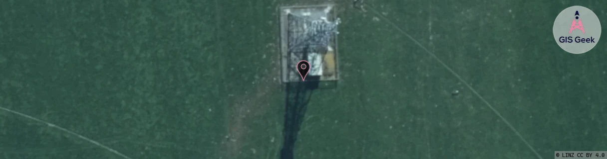
Location Raw Name: (CAN-064-003-B)[GERA]_GERALDINE
GIS Geek | LINZ | GMaps | Street View
Login required to upload photos or suggest corrections.
Closest Towers
| Provider | Location Name | Distance | Bearing |
|---|---|---|---|
| Spark | Gerladine Town | 2.44km | 269.96 |
| OneNZ | Geraldine | 12m | 52.86 |
| 2Degrees | Rctwth - Waitohi Hill | 9.49km | 268.29 |
| RCG | RCTWDB - Woodbury | 8.19km | 320.11 |
Licence Details
Close Cell IDs 2Degrees MMC: 530 MNC: 24
| Radio | Area | Cell | Distance from tower | Bearing from tower | Samples |
|---|---|---|---|---|---|
| GSM | 216 | 39221 | 2.3km | 230.29 | 293 |
| UMTS | 22216 | 956723 | 2.41km | 271.71 | 2 |
| UMTS | 22216 | 452427 | 3.3km | 25.55 | 240 |
| LTE | 62216 | 1769738 | 3.11km | 318.55 | 51 |
| GSM | 216 | 39213 | 3.24km | 140.75 | 201 |
| GSM | 27 | 23042 | 3.99km | 187.18 | 1 |
| GSM | 216 | 38665 | 3.82km | 245.85 | 128 |
| LTE | 62216 | 1798144 | 3.93km | 112.91 | 39 |
| LTE | 62216 | 1769740 | 4.1km | 247.04 | 50 |
| LTE | 62216 | 1769739 | 4.5km | 128.54 | 102 |