Location Overview
The 2Degrees Tai Tapu location is 17m high, has 5 licences associated, and is capable* of 3G UMTS and 4G LTE.
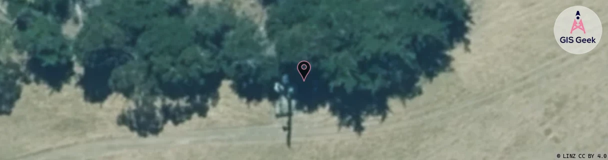
Location Raw Name: (CAN-062-009-A)[TAIT]_TAI TAPU
GIS Geek | LINZ | GMaps | Street View
Login required to upload photos or suggest corrections.
Closest Towers
| Provider | Location Name | Distance | Bearing |
|---|---|---|---|
| Spark | Taitapu | 1.21km | 342.54 |
| OneNZ | Tai Tapu | 43m | 224.36 |
| 2Degrees | Pentire Park | 6.65km | 310.28 |
| RCG | RCTGBV - Gebbies Valley | 6.93km | 156.84 |
Licence Details
Close Cell IDs 2Degrees MMC: 530 MNC: 24
| Radio | Area | Cell | Distance from tower | Bearing from tower | Samples |
|---|---|---|---|---|---|
| GSM | 27 | 21653 | 664m | 294.81 | 1 |
| UMTS | 22216 | 432644 | 1.43km | 195.07 | 8 |
| GSM | 27 | 21651 | 1.44km | 324 | 1 |
| UMTS | 22216 | 432643 | 2.12km | 14.34 | 9 |
| UMTS | 216 | 452627 | 2.11km | 339.23 | 1 |
| UMTS | 28399 | 452639 | 2.16km | 164.18 | 4 |
| GSM | 216 | 39423 | 2.05km | 230.42 | 7 |
| UMTS | 22216 | 432645 | 1.99km | 302.7 | 13 |
| GSM | 216 | 39381 | 2.09km | 121.5 | 16 |
| UMTS | 22216 | 1728770 | 2.97km | 351.01 | 1 |