Location Overview
The 2Degrees Cavendish location is 20m high, has 5 licences associated, and is capable* of 3G UMTS and 4G LTE.
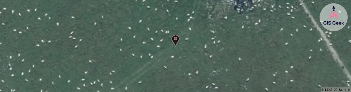
Location Raw Name: (CAN-063-009-A)[CAVE]_CAVENDISH
GIS Geek | LINZ | GMaps | Street View
Login required to upload photos or suggest corrections.
Closest Towers
| Provider | Location Name | Distance | Bearing |
|---|---|---|---|
| Spark | Mayfield | 3.85km | 184.49 |
| OneNZ | Gawler Downs Bcl | 50m | 272.27 |
| 2Degrees | Mt Hutt | 19.97km | 31.88 |
| RCG | RCTLHE - Lake Heron | 20.41km | 302.06 |
Licence Details
Close Cell IDs 2Degrees MMC: 530 MNC: 24
| Radio | Area | Cell | Distance from tower | Bearing from tower | Samples |
|---|---|---|---|---|---|
| LTE | 62216 | 1805578 | 3.7km | 61.39 | 102 |
| GSM | 216 | 39931 | 6.16km | 57.44 | 3 |
| UMTS | 22216 | 19774771 | 8.36km | 336.97 | 1 |
| UMTS | 22216 | 453147 | 9.27km | 332.35 | 61 |
| UMTS | 22216 | 19784206 | 11.63km | 156.4 | 1 |
| UMTS | 22216 | 19773997 | 12.46km | 324.16 | 1 |
| GSM | 216 | 39171 | 14.53km | 181.13 | 6 |
| LTE | 62216 | 1768204 | 13.02km | 46.23 | 197 |
| UMTS | 22216 | 453201 | 12.26km | 90.67 | 5 |
| UMTS | 22216 | 977439 | 18.59km | 181.33 | 69 |