Location Overview
The 2Degrees Cloverlea location is 22m high, has 6 licences associated, and is capable* of 3G UMTS, 4G LTE and 5G.
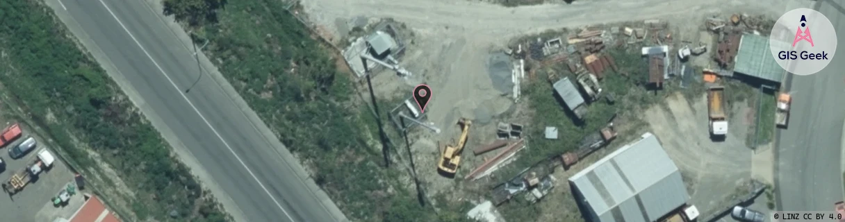
Location Raw Name: (MNW-040-005-A)[CLVE]_CLOVERLEA
GIS Geek | LINZ | GMaps | Street View
Login required to upload photos or suggest corrections.
Closest Towers
| Provider | Location Name | Distance | Bearing |
|---|---|---|---|
| Spark | Cloverlea | 165m | 230.69 |
| OneNZ | Cloverlea | 23m | 8.18 |
| 2Degrees | Takaro North | 1.12km | 147.28 |
| RCG | RMWAKV - Aokautere Valley | 10.24km | 119.09 |
Licence Details
Close Cell IDs 2Degrees MMC: 530 MNC: 24
| Radio | Area | Cell | Distance from tower | Bearing from tower | Samples |
|---|---|---|---|---|---|
| UMTS | 22213 | 2537543 | 22m | 210.8 | 7 |
| GSM | 815 | 10853 | 429m | 232.5 | 2 |
| LTE | 62213 | 1649668 | 682m | 120.95 | 20 |
| LTE | 62213 | 1647877 | 791m | 139.69 | 1 |
| UMTS | 22213 | 357049 | 741m | 74.55 | 7 |
| LTE | 62213 | 1890922 | 877m | 140 | 6 |
| LTE | 62213 | 1647621 | 944m | 128.22 | 5 |
| LTE | 62213 | 1647365 | 894m | 111.72 | 6 |
| LTE | 62213 | 1648129 | 938m | 122.66 | 6 |
| LTE | 62213 | 1649670 | 1.01km | 301.85 | 37 |
| LTE | 62213 | 1649667 | 1.13km | 140.5 | 1 |
| LTE | 62213 | 1649666 | 1.24km | 26.36 | 10 |