Location Overview
The 2Degrees Maori Hill location is 141m high, has 6 licences associated, and is capable* of 3G UMTS, 4G LTE and 5G.
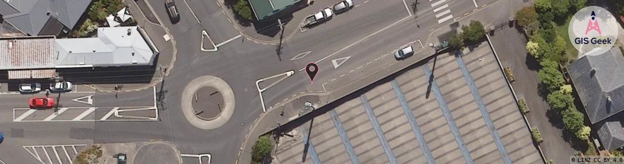
Location has been manually adjusted based on user feedback.
Location Raw Name: (OTG-071-045-B)[MAHL]_MAORI HILL
GIS Geek | LINZ | GMaps | Street View
Login required to upload photos or suggest corrections.
Closest Towers
| Provider | Location Name | Distance | Bearing |
|---|---|---|---|
| Spark | Maori Hill | 39m | 241.26 |
| OneNZ | Maori Hill ONZ S5MOH | 28m | 64.31 |
| 2Degrees | Dunedin Nth | 1.11km | 117.1 |
| RCG | ROTMHW - Mihiwaka | 13.62km | 48.04 |
Licence Details
Close Cell IDs 2Degrees MMC: 530 MNC: 24
| Radio | Area | Cell | Distance from tower | Bearing from tower | Samples |
|---|---|---|---|---|---|
| LTE | 62219 | 1636358 | 103m | 250.16 | 9 |
| GSM | 219 | 39825 | 178m | 24.42 | 4 |
| UMTS | 22219 | 432993 | 326m | 143.01 | 6 |
| LTE | 62219 | 1636097 | 286m | 251.03 | 1 |
| LTE | 62219 | 1635585 | 286m | 251.03 | 1 |
| LTE | 62219 | 1635589 | 286m | 251.03 | 1 |
| LTE | 62219 | 1635587 | 286m | 251.03 | 1 |
| LTE | 62219 | 1635075 | 286m | 251.03 | 1 |
| UMTS | 22219 | 432895 | 740m | 276.75 | 5 |
| GSM | 219 | 39803 | 946m | 125.05 | 2 |
| UMTS | 22219 | 432894 | 1.15km | 164.81 | 4 |
| LTE | 62219 | 1635590 | 1.03km | 133.31 | 27 |