Location Overview
The 2Degrees Western Heights location is 15m high, has 4 licences associated, and is capable* of 3G UMTS and 4G LTE.
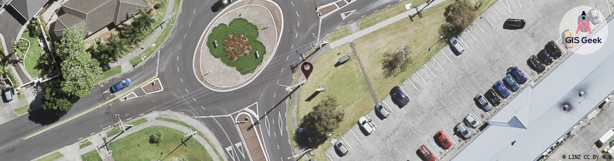
Location Raw Name: (AKL-006-031-A)[WHTS]_WESTERN HEIGHTS
GIS Geek | LINZ | GMaps | Street View
Login required to upload photos or suggest corrections.
Closest Towers
| Provider | Location Name | Distance | Bearing |
|---|---|---|---|
| Spark | Henderson Nw | 443m | 315.75 |
| OneNZ | Western Heights VF A2WSH | 3m | 107.33 |
| 2Degrees | Henderson South | 1.32km | 129.27 |
| RCG | RAKLGR - Long Road Lot | 9.9km | 280.07 |
Licence Details
Close Cell IDs 2Degrees MMC: 530 MNC: 24
| Radio | Area | Cell | Distance from tower | Bearing from tower | Samples |
|---|---|---|---|---|---|
| UMTS | 10004 | 76663 | 144m | 331.45 | 5 |
| LTE | 61005 | 1586948 | 342m | 6.43 | 15 |
| LTE | 61008 | 1583876 | 389m | 310.95 | 1 |
| LTE | 61008 | 1697798 | 459m | 193.59 | 1 |
| UMTS | 10005 | 590939 | 414m | 249.72 | 1 |
| UMTS | 10005 | 1584134 | 575m | 35.19 | 4 |
| LTE | 61005 | 1583622 | 771m | 144.81 | 13 |
| UMTS | 10005 | 600952 | 981m | 158.4 | 2 |