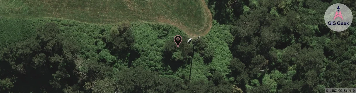
Location Overview
The 2Degrees Hamilton Airport location is 17m high, has 5 licences associated, and is capable* of 3G UMTS and 4G LTE.
Location Raw Name: (WKT-017-009-C)[HAAP]_HAMILTON AIRPORT
GIS Geek | LINZ | GMaps | Street View
Login required to upload photos or suggest corrections.
Closest Towers
| Provider | Location Name | Distance | Bearing |
|---|---|---|---|
| Spark | Mystery Creek | 1.29km | 115.26 |
| OneNZ | Hamilton Airport | 859m | 299.91 |
| 2Degrees | Mystery Events Centre | 1.37km | 116.11 |
| RCG | RWKTPV - Temple View | 11.39km | 300.37 |
Licence Details
Close Cell IDs 2Degrees MMC: 530 MNC: 24
| Radio | Area | Cell | Distance from tower | Bearing from tower | Samples |
|---|---|---|---|---|---|
| UMTS | 22206 | 271828 | 931m | 300.32 | 1 |
| UMTS | 22206 | 271795 | 1.32km | 16.02 | 57 |
| UMTS | 22206 | 281801 | 1.54km | 10.64 | 2 |
| UMTS | 22206 | 1598724 | 1.65km | 14.77 | 1 |
| GSM | 206 | 19723 | 1.67km | 188.97 | 2 |
| UMTS | 22206 | 281803 | 1.36km | 285.07 | 55 |
| UMTS | 48726 | 281802 | 1.57km | 237.99 | 1 |
| UMTS | 48726 | 281803 | 1.63km | 290.76 | 1 |
| LTE | 62206 | 1758467 | 2.09km | 205.64 | 3 |
| UMTS | 22206 | 271799 | 1.84km | 253.03 | 3 |