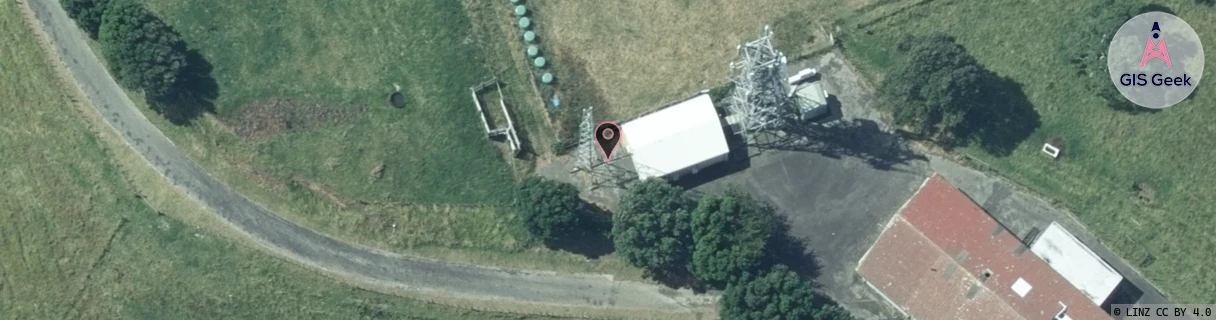
Location Overview
The Spark Blagdon Hill location is 24m high, has 8 licences associated, and is capable* of 3G UMTS, 4G LTE and 5G.
GIS Geek | LINZ | GMaps | Street View
Login required to upload photos or suggest corrections.
Closest Towers
| Provider | Location Name | Distance | Bearing |
|---|---|---|---|
| Spark | Lynmouth South | 859m | 34.25 |
| OneNZ | New Plymouth Outer ONZ W2NPO | 15m | 77.98 |
| 2Degrees | Blagdon | 18m | 72.91 |
| RCG | RTRHUI - Huirangi | 17.83km | 85.63 |
Licence Details
Close Cell IDs Spark MMC: 530 MNC: 5
| Radio | Area | Cell | Distance from tower | Bearing from tower | Samples |
|---|---|---|---|---|---|
| LTE | 48151 | 336495 | 186m | 187.52 | 2 |
| LTE | 48151 | 655739 | 185m | 315.03 | 1 |
| LTE | 48151 | 336519 | 294m | 21.05 | 4 |
| UMTS | 42101 | 2810771 | 304m | 273.3 | 1 |
| LTE | 48151 | 655749 | 391m | 34.83 | 1 |
| UMTS | 48394 | 3188444 | 443m | 19.72 | 3 |
| UMTS | 42101 | 2809805 | 510m | 24.67 | 1 |
| UMTS | 48394 | 3189230 | 484m | 250.18 | 1 |
| LTE | 48151 | 655733 | 717m | 351.49 | 1 |
| UMTS | 48394 | 3193981 | 701m | 306.95 | 12 |
| UMTS | 48394 | 3188447 | 710m | 50.71 | 2 |
| LTE | 48151 | 338811 | 714m | 54.7 | 1 |
| LTE | 48151 | 655729 | 802m | 27.48 | 1 |
| LTE | 48151 | 655751 | 803m | 27.67 | 1 |
| UMTS | 48394 | 3188441 | 798m | 29.83 | 4 |
| UMTS | 48394 | 3166880 | 739m | 234.68 | 2 |