Location Overview
The Spark Omaha Bay location is 25m high, has 6 licences associated, and is capable* of 3G UMTS and 4G LTE.
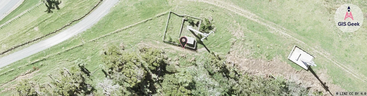
GIS Geek | LINZ | GMaps | Street View
Login required to upload photos or suggest corrections.
Closest Towers
| Provider | Location Name | Distance | Bearing |
|---|---|---|---|
| Spark | Omaha North | 3.01km | 316 |
| OneNZ | Omaha 2 | 746m | 42.01 |
| 2Degrees | Omaha | 53m | 89.89 |
| RCG | RAKWGR - Whangaripo | 15.85km | 297.27 |
Licence Details
Close Cell IDs Spark MMC: 530 MNC: 5
| Radio | Area | Cell | Distance from tower | Bearing from tower | Samples |
|---|---|---|---|---|---|
| UMTS | 18396 | 824693 | 2.78km | 130.4 | 1 |
| LTE | 18161 | 12952943 | 3.29km | 103.68 | 7 |
| UMTS | 18399 | 824696 | 3.85km | 112.73 | 6 |
| LTE | 18161 | 12952963 | 4.09km | 307.83 | 15 |
| UMTS | 18399 | 824698 | 4.37km | 307.21 | 13 |
| UMTS | 18399 | 824701 | 4.81km | 334.39 | 8 |
| LTE | 18161 | 12952865 | 4.32km | 279.56 | 8 |
| UMTS | 18399 | 825373 | 5.44km | 318.82 | 3 |
| UMTS | 18399 | 823398 | 5.77km | 320.53 | 4 |
| UMTS | 18399 | 1203372 | 6.25km | 352.36 | 1 |
| UMTS | 18399 | 824697 | 6.42km | 208.07 | 13 |
| UMTS | 12003 | 823398 | 5.8km | 290.37 | 37 |