Location Overview
The 2Degrees Ashhurst location is 23m high, has 3 licences associated, and is capable* of 3G UMTS and 4G LTE.
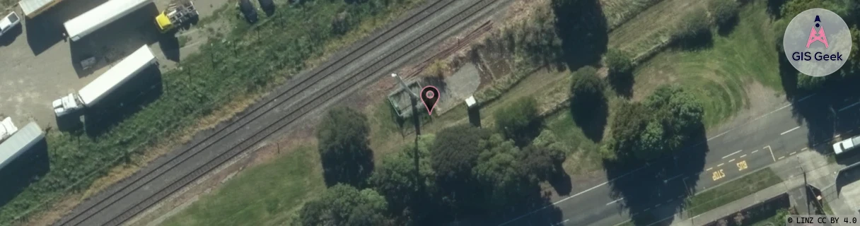
Location Raw Name: (MNW-040-017-C)[ASHT]_ASHHURST
GIS Geek | LINZ | GMaps | Street View
Login required to upload photos or suggest corrections.
Closest Towers
| Provider | Location Name | Distance | Bearing |
|---|---|---|---|
| Spark | Ashurst | 184m | 247.91 |
| OneNZ | Ashhurst | 184m | 247.91 |
| 2Degrees | Kelvin Grove North | 8.8km | 246.43 |
| RCG | RMWTMH - Tararua Manawatu Highway | 3.76km | 101.9 |
Licence Details
Close Cell IDs 2Degrees MMC: 530 MNC: 24
| Radio | Area | Cell | Distance from tower | Bearing from tower | Samples |
|---|---|---|---|---|---|
| UMTS | 22213 | 376991 | 981m | 34.82 | 14 |
| UMTS | 22213 | 356999 | 1.17km | 251.32 | 7 |
| UMTS | 22213 | 356997 | 1.74km | 23.92 | 24 |
| UMTS | 22213 | 356998 | 1.77km | 143.88 | 5 |
| UMTS | 22213 | 376993 | 1.72km | 131.46 | 7 |
| UMTS | 22213 | 26377268 | 1.84km | 131.28 | 1 |