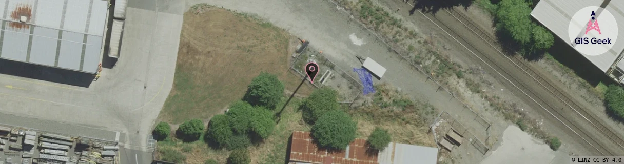
Location Overview
The Spark Opawa location is 20m high, has 6 licences associated, and is capable* of 3G UMTS, 4G LTE and 5G.
GIS Geek | LINZ | GMaps | Street View
Login required to upload photos or suggest corrections.
Closest Towers
| Provider | Location Name | Distance | Bearing |
|---|---|---|---|
| Spark | Hargood Ferry | 1.27km | 5.62 |
| OneNZ | Woolston | 724m | 120.33 |
| 2Degrees | Hillsborough | 172m | 125.02 |
| RCG | RCTPTL - Port Levy | 15.89km | 124.62 |
Licence Details
Close Cell IDs Spark MMC: 530 MNC: 5
| Radio | Area | Cell | Distance from tower | Bearing from tower | Samples |
|---|---|---|---|---|---|
| UMTS | 28141 | 262267 | 104m | 342.94 | 2 |
| LTE | 28141 | 276357 | 235m | 353.86 | 7 |
| UMTS | 21003 | 1428214 | 248m | 340.42 | 1 |
| LTE | 2101 | 12911649 | 248m | 340.42 | 1 |
| UMTS | 28399 | 1426881 | 255m | 26.21 | 3 |
| LTE | 28141 | 276347 | 288m | 218.51 | 22 |
| UMTS | 28141 | 664443 | 258m | 69.68 | 6 |
| UMTS | 28399 | 1879342 | 291m | 260.5 | 1 |
| LTE | 28141 | 12911649 | 395m | 9.73 | 8 |
| UMTS | 28399 | 1879050 | 417m | 16.38 | 3 |
| LTE | 28141 | 12911648 | 358m | 240.83 | 5 |
| UMTS | 21003 | 1427968 | 358m | 240.83 | 1 |