Location Overview
The 2Degrees Moorhouse location is 24m high, has 5 licences associated, and is capable* of 3G UMTS and 4G LTE.
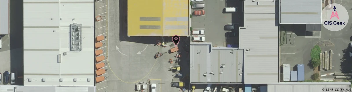
Location Raw Name: (CHC-060-004-C)[MOOR]_MOORHOUSE
GIS Geek | LINZ | GMaps | Street View
Login required to upload photos or suggest corrections.
Closest Towers
| Provider | Location Name | Distance | Bearing |
|---|---|---|---|
| Spark | Waltham | 206m | 231.54 |
| OneNZ | Jade Stadium Relocate | 391m | 128.07 |
| 2Degrees | Sydenham | 701m | 234.83 |
| RCG | RCTTPI - The Pines Beach | 18.21km | 11.9 |
Licence Details
Close Cell IDs 2Degrees MMC: 530 MNC: 24
| Radio | Area | Cell | Distance from tower | Bearing from tower | Samples |
|---|---|---|---|---|---|
| LTE | 63002 | 1670916 | 61m | 55.43 | 67 |
| UMTS | 30001 | 181107 | 126m | 288.71 | 71 |
| LTE | 255 | 1670662 | 160m | 304.97 | 2 |
| UMTS | 30002 | 182115 | 154m | 105.52 | 15 |
| GSM | 60 | 30031 | 248m | 26.42 | 15 |
| UMTS | 30002 | 161120 | 264m | 358.66 | 2 |
| UMTS | 30002 | 181699 | 264m | 358.66 | 3 |
| LTE | 255 | 1670658 | 248m | 49.93 | 2 |
| UMTS | 30002 | 19781743 | 244m | 69.63 | 1 |
| UMTS | 30001 | 161109 | 276m | 60.32 | 36 |