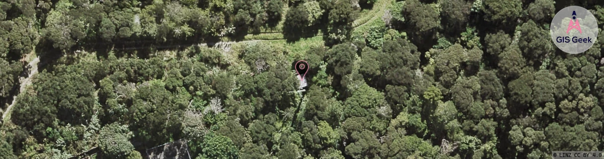
Location Overview
The Spark Upper Harbour Drive location is 17m high, has 8 licences associated, and is capable* of 3G UMTS, 4G LTE and 5G.
GIS Geek | LINZ | GMaps | Street View
Login required to upload photos or suggest corrections.
Closest Towers
| Provider | Location Name | Distance | Bearing |
|---|---|---|---|
| Spark | Wainoni Park | 1.09km | 287.7 |
| OneNZ | Greenhithe Road | 478m | 348.5 |
| 2Degrees | Bayview | 1km | 76.5 |
| RCG | RAKARV - Ararimu Valley | 13.96km | 296.46 |
Licence Details
Close Cell IDs Spark MMC: 530 MNC: 5
| Radio | Area | Cell | Distance from tower | Bearing from tower | Samples |
|---|---|---|---|---|---|
| UMTS | 12302 | 816846 | 752m | 318.37 | 1 |
| UMTS | 18396 | 816588 | 803m | 251.85 | 2 |
| UMTS | 18396 | 816848 | 1.03km | 20.32 | 2 |
| LTE | 18151 | 12858143 | 1.06km | 341.42 | 23 |
| UMTS | 18396 | 818375 | 986m | 313.6 | 5 |
| UMTS | 15301 | 816848 | 1.09km | 347.41 | 1 |
| UMTS | 18394 | 818373 | 927m | 294.64 | 3 |
| UMTS | 12302 | 818373 | 963m | 303.48 | 2 |
| UMTS | 18394 | 818375 | 1.02km | 312 | 2 |
| LTE | 1202 | 13247007 | 1.02km | 312 | 3 |
| UMTS | 18394 | 816845 | 1.13km | 336.38 | 2 |
| UMTS | 18396 | 816515 | 1.1km | 35.86 | 1 |
| LTE | 18151 | 561775 | 1.07km | 135.24 | 2 |
| UMTS | 18394 | 1203755 | 958m | 273.74 | 1 |
| UMTS | 15301 | 1017141 | 1km | 277.15 | 2 |
| UMTS | 15301 | 818373 | 1.03km | 291.71 | 1 |