Location Overview
The 2Degrees Bryndwr East location is 15m high, has 4 licences associated, and is capable* of 3G UMTS, 4G LTE and 5G.
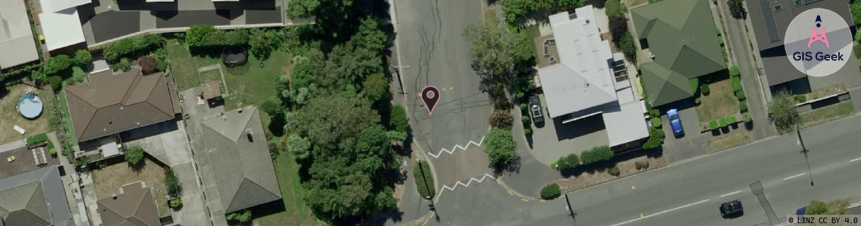
Location Raw Name: (CHC-060-184-A)[BRNE]_BRYNDWR EAST
GIS Geek | LINZ | GMaps | Street View
Login required to upload photos or suggest corrections.
Closest Towers
| Provider | Location Name | Distance | Bearing |
|---|---|---|---|
| Spark | Bryndwr | 292m | 234.9 |
| OneNZ | Clyde Road Christchurch | 272m | 231.85 |
| 2Degrees | Bryndwr | 854m | 249.94 |
| RCG | RCTTPI - The Pines Beach | 16.52km | 30.48 |
Licence Details
Close Cell IDs 2Degrees MMC: 530 MNC: 24
| Radio | Area | Cell | Distance from tower | Bearing from tower | Samples |
|---|---|---|---|---|---|
| UMTS | 30001 | 161781 | 60m | 353.9 | 37 |
| GSM | 25 | 20442 | 300m | 253.94 | 1 |
| UMTS | 30002 | 182095 | 419m | 190.6 | 2 |
| UMTS | 30001 | 182029 | 340m | 296.98 | 1 |
| LTE | 63001 | 1884266 | 373m | 256.12 | 17 |
| LTE | 43001 | 1680900 | 390m | 85.45 | 1 |
| UMTS | 30001 | 162029 | 392m | 274.52 | 1 |
| UMTS | 30002 | 19759512 | 655m | 353.21 | 1 |