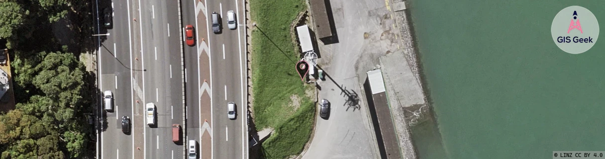
Location Overview
The 2Degrees Harbour Bridge Nth location is 12m high, has 7 licences associated, and is capable* of 3G UMTS, 4G LTE and 5G.
Location Raw Name: (AKL-005-006-B)[HBRN]_HARBOUR BRIDGE NTH
GIS Geek | LINZ | GMaps | Street View
Login required to upload photos or suggest corrections.
Closest Towers
| Provider | Location Name | Distance | Bearing |
|---|---|---|---|
| Spark | Harbour Bridge North | 9m | 289.35 |
| OneNZ | Harbour Bridge North 1 1 ONZ A1HBN | 465m | 204.59 |
| 2Degrees | Harbour Bridge | 978m | 206.68 |
| RCG | RAKSSJ - Summerset St John | 9.59km | 125.16 |
Licence Details
Close Cell IDs 2Degrees MMC: 530 MNC: 24
| Radio | Area | Cell | Distance from tower | Bearing from tower | Samples |
|---|---|---|---|---|---|
| GSM | 60 | 43863 | 12m | 232.99 | 1 |
| UMTS | 10001 | 81994 | 51m | 22.97 | 3 |
| GSM | 31 | 8152 | 144m | 355.66 | 1 |
| GSM | 31 | 41303 | 161m | 183.89 | 1 |
| UMTS | 10004 | 81893 | 132m | 267.11 | 1 |
| UMTS | 10001 | 81113 | 137m | 286.93 | 2 |
| UMTS | 10002 | 81393 | 195m | 311.44 | 4 |
| LTE | 61002 | 1693443 | 259m | 174.49 | 2 |
| UMTS | 10002 | 1571842 | 275m | 36.76 | 5 |
| LTE | 61002 | 1571844 | 301m | 196.76 | 80 |
| UMTS | 10002 | 59103094 | 291m | 219.28 | 18 |
| UMTS | 10002 | 67351 | 297m | 46.13 | 3 |
| UMTS | 1932 | 59103094 | 321m | 338.24 | 3 |
| UMTS | 10001 | 71994 | 350m | 347.6 | 5 |