Location Overview
The 2Degrees Athenree location is 34m high, has 2 licences associated, and is capable* of 3G UMTS and 4G LTE.
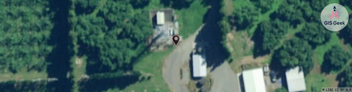
Location Raw Name: (BOP-022-022-A)[ATHE]_ATHENREE
GIS Geek | LINZ | GMaps | Street View
Login required to upload photos or suggest corrections.
Closest Towers
| Provider | Location Name | Distance | Bearing |
|---|---|---|---|
| Spark | Athenree | 7m | 290.82 |
| OneNZ | Athenree | 94m | 229.16 |
| 2Degrees | Waihi Beach | 5.38km | 346.87 |
| RCG | RWKWWT - Waitawheta Track | 12.31km | 277.84 |
Licence Details
Close Cell IDs 2Degrees MMC: 530 MNC: 24
| Radio | Area | Cell | Distance from tower | Bearing from tower | Samples |
|---|---|---|---|---|---|
| UMTS | 22205 | 270137 | 597m | 133.14 | 9 |
| GSM | 136 | 36043 | 2.35km | 251.45 | 1 |
| UMTS | 22205 | 269575 | 2.85km | 97.32 | 5 |
| GSM | 136 | 7093 | 3.34km | 216.76 | 15 |