Location Overview
The 2Degrees Hawera location is 41m high, has 6 licences associated, and is capable* of 3G UMTS, 4G LTE and 5G.
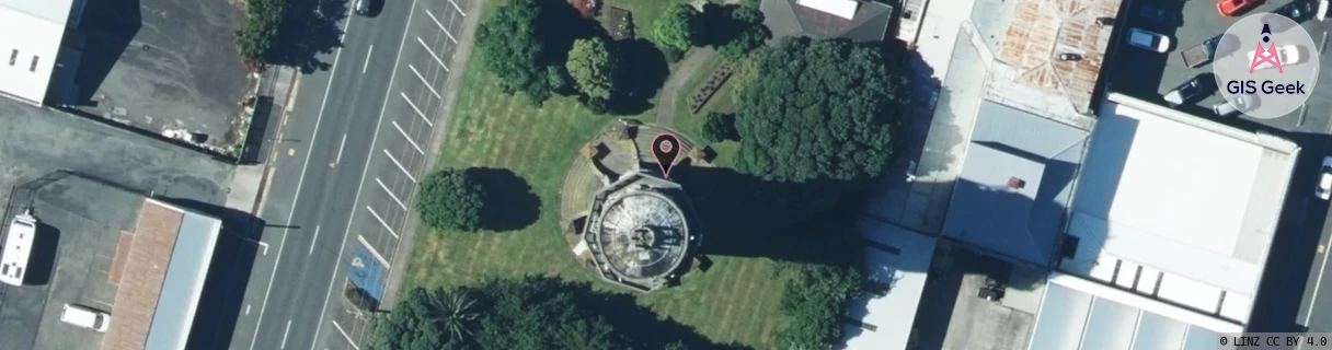
Location Raw Name: (TNK-035-006-A)[HWAT]_HAWERA
GIS Geek | LINZ | GMaps | Street View
Login required to upload photos or suggest corrections.
Closest Towers
| Provider | Location Name | Distance | Bearing |
|---|---|---|---|
| Spark | Hawera | 3m | 179.01 |
| OneNZ | Hawera | 37m | 166.62 |
| 2Degrees | S_Normanby | 7km | 347.18 |
| RCG | RTRMNT - Manutahi | 14.18km | 126.25 |
Licence Details
Close Cell IDs 2Degrees MMC: 530 MNC: 24
| Radio | Area | Cell | Distance from tower | Bearing from tower | Samples |
|---|---|---|---|---|---|
| GSM | 14 | 16643 | 483m | 240.65 | 4 |
| UMTS | 22212 | 376011 | 1.41km | 354.67 | 10 |
| GSM | 212 | 28335 | 1.29km | 287.13 | 8 |
| LTE | 62212 | 1767691 | 1.43km | 124.38 | 37 |
| LTE | 62212 | 1767684 | 2.45km | 117.82 | 4 |
| LTE | 62212 | 1767692 | 3.07km | 276.4 | 27 |
| UMTS | 22212 | 26392541 | 3.95km | 342.22 | 1 |
| GSM | 212 | 28331 | 4.07km | 348.17 | 11 |
| UMTS | 22212 | 356018 | 3.87km | 117.47 | 7 |
| GSM | 14 | 16642 | 4.21km | 120.43 | 6 |
| LTE | 62212 | 1767686 | 4.05km | 278.56 | 48 |
| GSM | 14 | 16641 | 5.29km | 346.71 | 1 |