Location Overview
The 2Degrees Judgeford location is 9m high, has 5 licences associated, and is capable* of 3G UMTS and 4G LTE.
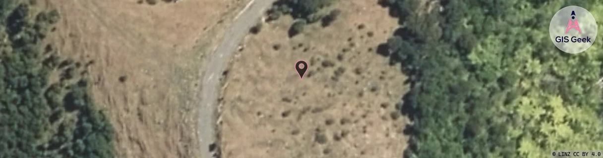
Location Raw Name: (WLG-044-005-B)[JGFD]_JUDGEFORD
GIS Geek | LINZ | GMaps | Street View
Login required to upload photos or suggest corrections.
Closest Towers
| Provider | Location Name | Distance | Bearing |
|---|---|---|---|
| Spark | Judgeford | 1.16km | 16.92 |
| OneNZ | Judgeford ONZ W4JFD | 173m | 20.09 |
| 2Degrees | Mt Cecil Rd | 2.73km | 116.63 |
| RCG | RWLWRP - Whitby Reservoir Permanent | 4.06km | 275.67 |
Licence Details
Close Cell IDs 2Degrees MMC: 530 MNC: 24
| Radio | Area | Cell | Distance from tower | Bearing from tower | Samples |
|---|---|---|---|---|---|
| UMTS | 20001 | 171903 | 452m | 75.33 | 1 |
| UMTS | 22214 | 368511 | 452m | 75.33 | 1 |
| UMTS | 22217 | 368511 | 452m | 75.33 | 4 |
| UMTS | 20001 | 151910 | 681m | 290.38 | 2 |
| GSM | 818 | 18582 | 773m | 90.26 | 1 |
| UMTS | 22217 | 348517 | 805m | 91.6 | 15 |
| UMTS | 20001 | 171997 | 1.32km | 105.81 | 1 |
| UMTS | 22217 | 368605 | 1.5km | 109.54 | 7 |
| UMTS | 22217 | 348518 | 1.73km | 287.59 | 66 |
| UMTS | 22217 | 348609 | 1.91km | 121.65 | 36 |