Location Overview
The 2Degrees Rtaatn - Abel Tasman National Park location is 25m high, has 1 licence associated, and is capable* of 3G UMTS.
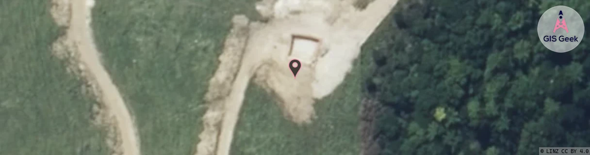
Location Raw Name: RTAATN - ABEL TASMAN NATIONAL PARK
GIS Geek | LINZ | GMaps | Street View
Login required to upload photos or suggest corrections.
Closest Towers
| Provider | Location Name | Distance | Bearing |
|---|---|---|---|
| Spark | Pohara Camp | 7.42km | 260.4 |
| OneNZ | Pohara | 6.89km | 238.03 |
| 2Degrees | Takaka Rbi | 15.52km | 268.1 |
| RCG | RTAATN - Abel Tasman National Park | 0m | 0 |
Licence Details
Close Cell IDs 2Degrees MMC: 530 MNC: 24
| Radio | Area | Cell | Distance from tower | Bearing from tower | Samples |
|---|---|---|---|---|---|
| LTE | 14828 | 26369558 | 1.76km | 2.85 | 5 |
| LTE | 62215 | 1800194 | 2.36km | 342.01 | 2 |