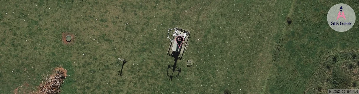
Location Overview
The 2Degrees Gordonton location is 20m high, has 5 licences associated, and is capable* of 3G UMTS and 4G LTE.
Location Raw Name: (WKT-013-013-D)[GDTN]_GORDONTON
GIS Geek | LINZ | GMaps | Street View
Login required to upload photos or suggest corrections.
Closest Towers
| Provider | Location Name | Distance | Bearing |
|---|---|---|---|
| Spark | Gordonton | 3.77km | 67.11 |
| OneNZ | Gordonton ONZ C1GDT | 5m | 353.54 |
| 2Degrees | Rototuna North | 4.89km | 208.26 |
| RCG | RWKTHW - Tauhei West | 14.01km | 44.13 |
Licence Details
Close Cell IDs 2Degrees MMC: 530 MNC: 24
| Radio | Area | Cell | Distance from tower | Bearing from tower | Samples |
|---|---|---|---|---|---|
| UMTS | 22206 | 270099 | 1.62km | 142.44 | 4 |
| LTE | 62206 | 1790210 | 2.8km | 47.03 | 50 |
| LTE | 62206 | 1790229 | 2.77km | 53.84 | 50 |
| UMTS | 22206 | 271077 | 2.67km | 103.77 | 16 |
| LTE | 62206 | 1790212 | 3.16km | 144.27 | 50 |
| LTE | 62206 | 1790470 | 3.23km | 147.8 | 7 |
| GSM | 206 | 18691 | 2.82km | 253.89 | 8 |
| GSM | 234 | 5892 | 2.79km | 99.92 | 11 |
| UMTS | 22206 | 281082 | 2.86km | 79.44 | 7 |
| LTE | 62206 | 1790466 | 2.93km | 90.21 | 21 |