Location Overview
The 2Degrees Paeroa_Range location is 34m high, has 5 licences associated, and is capable* of 3G UMTS and 4G LTE.
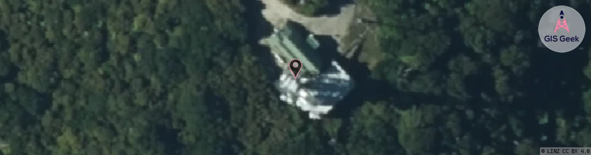
Location Raw Name: (BOP-024-020-A)[PEAR]_PAEROA_RANGE
GIS Geek | LINZ | GMaps | Street View
Login required to upload photos or suggest corrections.
Closest Towers
| Provider | Location Name | Distance | Bearing |
|---|---|---|---|
| Spark | Reporoa | 9.4km | 124.16 |
| OneNZ | Paeroa Range Bcl | 86m | 196.97 |
| 2Degrees | Rbi Reporoa | 9.4km | 124.16 |
| RCG | RBPBUV - Buried Village | 23.24km | 29.05 |
Licence Details
Close Cell IDs 2Degrees MMC: 530 MNC: 24
| Radio | Area | Cell | Distance from tower | Bearing from tower | Samples |
|---|---|---|---|---|---|
| UMTS | 207 | 270115 | 7.01km | 33.68 | 3 |
| GSM | 207 | 17970 | 7.56km | 346.93 | 22 |
| UMTS | 22207 | 3170068 | 7.13km | 39.22 | 1 |
| UMTS | 135 | 270115 | 7.14km | 41.65 | 1 |
| GSM | 207 | 17971 | 6.47km | 69.36 | 17 |
| UMTS | 22207 | 269399 | 6.93km | 123.77 | 39 |
| GSM | 135 | 6843 | 6.85km | 119.81 | 81 |
| LTE | 62207 | 1881113 | 7.05km | 126.04 | 26 |
| LTE | 62207 | 1881094 | 6.71km | 106.63 | 33 |
| UMTS | 22207 | 3170410 | 8.31km | 5.39 | 1 |