Location Overview
The 2Degrees Pandora location is 24m high, has 4 licences associated, and is capable* of 3G UMTS and 4G LTE.
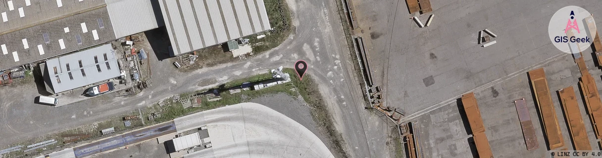
Location Raw Name: (HKB-031-015-B)[PAND]_PANDORA
GIS Geek | LINZ | GMaps | Street View
Login required to upload photos or suggest corrections.
Closest Towers
| Provider | Location Name | Distance | Bearing |
|---|---|---|---|
| Spark | Ahuriri | 841m | 32.46 |
| OneNZ | Onekawa | 593m | 177.08 |
| 2Degrees | Ahuriri | 1.49km | 48.6 |
| RCG | RHBSFR - Seafield Rd | 9.3km | 298.01 |
Licence Details
Close Cell IDs 2Degrees MMC: 530 MNC: 24
| Radio | Area | Cell | Distance from tower | Bearing from tower | Samples |
|---|---|---|---|---|---|
| UMTS | 22211 | 357439 | 489m | 177 | 52 |
| GSM | 10 | 10382 | 702m | 133.96 | 5 |
| UMTS | 22211 | 357438 | 749m | 129.71 | 1 |
| UMTS | 22211 | 377539 | 817m | 147.5 | 172 |
| UMTS | 22210 | 377438 | 856m | 129.58 | 6 |
| UMTS | 22210 | 357438 | 898m | 139.18 | 11 |
| LTE | 62211 | 1643010 | 1.01km | 185.87 | 1 |
| LTE | 62210 | 1644550 | 953m | 213.66 | 10 |