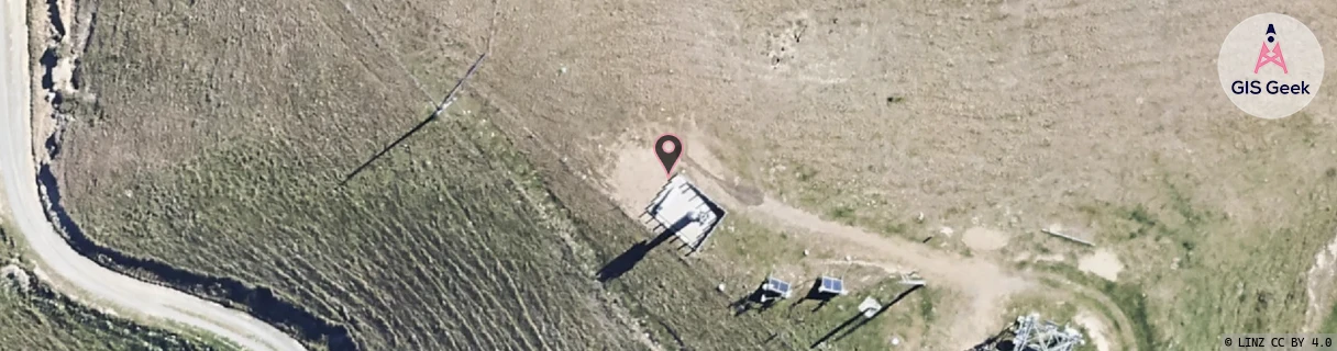
Location Overview
The 2Degrees Wither Hills location is 9m high, has 5 licences associated, and is capable* of 3G UMTS, 4G LTE and 5G.
Location Raw Name: (MBN-053-012-D)[WITH]_WITHER HILLS
GIS Geek | LINZ | GMaps | Street View
Login required to upload photos or suggest corrections.
Closest Towers
| Provider | Location Name | Distance | Bearing |
|---|---|---|---|
| Spark | Mt Vernon | 259m | 165.26 |
| OneNZ | Blenheim | 40m | 117.78 |
| 2Degrees | Wither_Hills | 0m | 0 |
| RCG | RMLRRG - Rarangi | 17.16km | 16.76 |
Licence Details
Close Cell IDs 2Degrees MMC: 530 MNC: 24
| Radio | Area | Cell | Distance from tower | Bearing from tower | Samples |
|---|---|---|---|---|---|
| GSM | 24 | 22171 | 2.92km | 332.63 | 7 |
| UMTS | 22199 | 442464 | 3.58km | 337 | 12 |
| LTE | 62299 | 1633284 | 3.63km | 332 | 10 |
| LTE | 62299 | 1633540 | 3.63km | 43.03 | 5 |
| GSM | 24 | 22152 | 4.05km | 326.89 | 18 |
| GSM | 24 | 22122 | 3.83km | 48.09 | 10 |
| UMTS | 22199 | 422464 | 4.28km | 329.96 | 6 |
| GSM | 199 | 29243 | 4.38km | 333.14 | 93 |
| GSM | 24 | 22172 | 3.96km | 51.82 | 12 |
| UMTS | 22199 | 442482 | 4.41km | 323.44 | 6 |