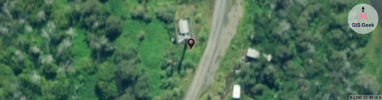
Location Overview
The 2Degrees S_Ohinewai location is 18m high, has 2 licences associated, and is capable* of 3G UMTS and 4G LTE.
Location Raw Name: (WKT-013-038-A)[VOHW]_S_OHINEWAI
GIS Geek | LINZ | GMaps | Street View
Login required to upload photos or suggest corrections.
Closest Towers
| Provider | Location Name | Distance | Bearing |
|---|---|---|---|
| Spark | Rangiriri | 5.04km | 348.46 |
| OneNZ | Ohinewai 2 | 1m | 184.93 |
| 2Degrees | Te Kauwhata Straights | 6.22km | 339.66 |
| RCG | RWKWAE - Waerenga | 15.43km | 36.27 |
Licence Details
Close Cell IDs 2Degrees MMC: 530 MNC: 24
| Radio | Area | Cell | Distance from tower | Bearing from tower | Samples |
|---|---|---|---|---|---|
| GSM | 206 | 18805 | 238m | 151.29 | 10 |
| UMTS | 22206 | 269817 | 343m | 252.5 | 155 |
| UMTS | 22206 | 62384708 | 355m | 261.53 | 98 |
| LTE | 62206 | 270935 | 531m | 37.56 | 1 |