Location Overview
The 2Degrees Martinborough location is 23m high, has 3 licences associated, and is capable* of 3G UMTS and 4G LTE.
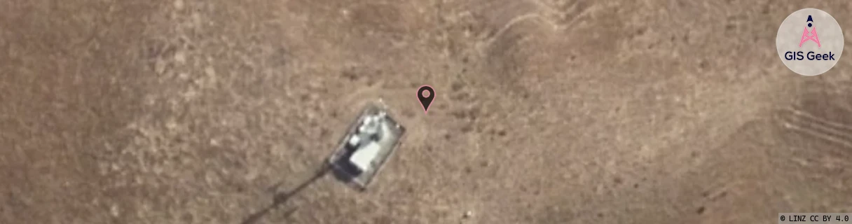
Location Raw Name: (WLG-050-002-A)[MTBH]_MARTINBOROUGH
GIS Geek | LINZ | GMaps | Street View
Login required to upload photos or suggest corrections.
Closest Towers
| Provider | Location Name | Distance | Bearing |
|---|---|---|---|
| Spark | Martinborough | 140m | 61.63 |
| OneNZ | Martinborough | 32m | 106.8 |
| 2Degrees | Martinborough Central | 4.45km | 209.78 |
| RCG | RWLMER - Mt Eringa | 14.65km | 84.14 |
Licence Details
Close Cell IDs 2Degrees MMC: 530 MNC: 24
| Radio | Area | Cell | Distance from tower | Bearing from tower | Samples |
|---|---|---|---|---|---|
| UMTS | 22213 | 355763 | 4.05km | 208.78 | 3 |
| LTE | 62213 | 1779716 | 4.2km | 219.62 | 1 |
| UMTS | 22213 | 26405389 | 4.64km | 170.85 | 1 |
| GSM | 819 | 18453 | 4.05km | 234.65 | 2 |
| UMTS | 213 | 375773 | 3.96km | 274.71 | 1 |
| UMTS | 213 | 375768 | 3.96km | 274.71 | 1 |