Location Overview
The Spark Orams Road location is 14m high, has 6 licences associated, and is capable* of 3G UMTS, 4G LTE and 5G.
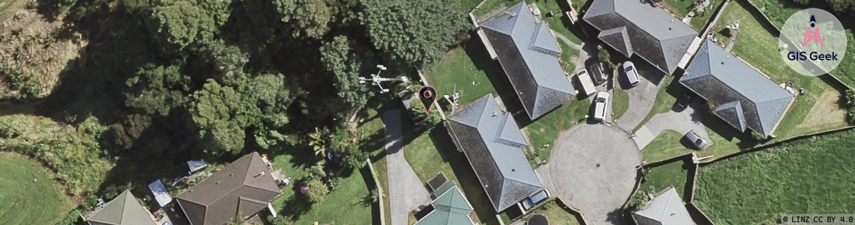
GIS Geek | LINZ | GMaps | Street View
Login required to upload photos or suggest corrections.
Closest Towers
| Provider | Location Name | Distance | Bearing |
|---|---|---|---|
| Spark | Manurewa Interchange | 1.28km | 129.87 |
| OneNZ | Manurewa North ONZ A8MRT | 525m | 232.18 |
| 2Degrees | Totara Heights | 233m | 120.26 |
| RCG | RAKBRB - Brookby | 7.85km | 72.88 |
Licence Details
Close Cell IDs Spark MMC: 530 MNC: 5
| Radio | Area | Cell | Distance from tower | Bearing from tower | Samples |
|---|---|---|---|---|---|
| UMTS | 18398 | 884319 | 101m | 359 | 10 |
| UMTS | 18394 | 884582 | 118m | 67.56 | 1 |
| LTE | 18131 | 12927777 | 179m | 14.96 | 46 |
| LTE | 1301 | 12927777 | 207m | 353.94 | 10 |
| UMTS | 13305 | 884581 | 207m | 353.94 | 2 |
| UMTS | 13305 | 884579 | 213m | 49.37 | 6 |
| LTE | 18131 | 603771 | 221m | 225.35 | 26 |
| LTE | 18131 | 603759 | 207m | 95.57 | 16 |
| UMTS | 18398 | 884584 | 249m | 319.81 | 1 |
| LTE | 18131 | 158240626 | 244m | 100.04 | 50 |
| LTE | 18131 | 501891 | 296m | 334.37 | 2 |
| UMTS | 13305 | 3023901 | 359m | 356.51 | 1 |