Location Overview
The 2Degrees Olive Road location is 14m high, has 6 licences associated, and is capable* of 3G UMTS, 4G LTE and 5G.
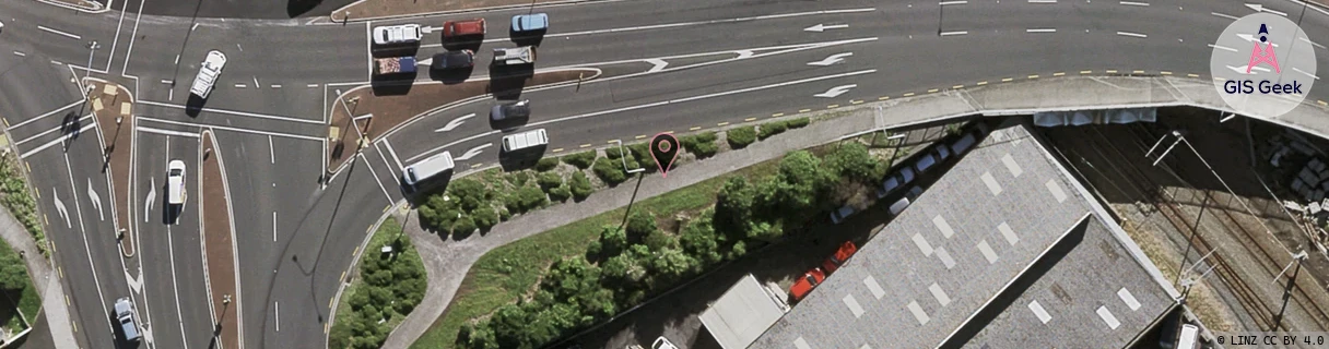
Location Raw Name: (AKL-007-290-A)[OLRD]_OLIVE ROAD
GIS Geek | LINZ | GMaps | Street View
Login required to upload photos or suggest corrections.
Closest Towers
| Provider | Location Name | Distance | Bearing |
|---|---|---|---|
| Spark | Penrose North West | 310m | 271.38 |
| OneNZ | Penrose Relocate | 233m | 185.19 |
| 2Degrees | James And Wells | 622m | 347.49 |
| RCG | RAKSSJ - Summerset St John | 4.55km | 29.47 |
Licence Details
Close Cell IDs 2Degrees MMC: 530 MNC: 24
| Radio | Area | Cell | Distance from tower | Bearing from tower | Samples |
|---|---|---|---|---|---|
| UMTS | 10005 | 591202 | 91m | 33.17 | 128 |
| UMTS | 10003 | 66909 | 99m | 280.97 | 1 |
| UMTS | 10005 | 1566726 | 161m | 222.99 | 1 |
| UMTS | 10003 | 66914 | 161m | 222.99 | 1 |
| UMTS | 10004 | 1570052 | 179m | 345.91 | 2 |
| UMTS | 10002 | 591202 | 174m | 35.75 | 6 |
| UMTS | 10005 | 591197 | 212m | 350.25 | 77 |
| LTE | 61005 | 1570052 | 212m | 64.64 | 123 |
| UMTS | 10003 | 76914 | 254m | 350.06 | 4 |
| UMTS | 10005 | 724117 | 239m | 128.1 | 8 |
| UMTS | 10003 | 66910 | 254m | 244.67 | 1 |
| UMTS | 10002 | 601202 | 279m | 228.82 | 4 |