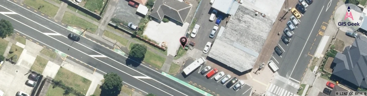
Location Overview
The Spark Buckland Road ~V7Et~ location is 14m high, has 5 licences associated, and is capable* of 3G UMTS, 4G LTE and 5G.
GIS Geek | LINZ | GMaps | Street View
Login required to upload photos or suggest corrections.
Closest Towers
| Provider | Location Name | Distance | Bearing |
|---|---|---|---|
| Spark | Station Road | 610m | 89.91 |
| OneNZ | Buckland Portage ONZ A8BUP | 37m | 149.42 |
| 2Degrees | Papatoetoe West | 317m | 113.41 |
| RCG | RAKMNB - Manawa Bay | 3.87km | 225.43 |
Licence Details
Close Cell IDs Spark MMC: 530 MNC: 5
| Radio | Area | Cell | Distance from tower | Bearing from tower | Samples |
|---|---|---|---|---|---|
| LTE | 18131 | 628859 | 320m | 105.34 | 38 |
| UMTS | 18398 | 1209410 | 359m | 283.26 | 3 |
| UMTS | 18398 | 1209413 | 371m | 282.73 | 1 |
| LTE | 18131 | 590459 | 451m | 18.64 | 11 |
| UMTS | 18398 | 884373 | 463m | 59.77 | 3 |
| LTE | 18131 | 12927609 | 713m | 147.55 | 1 |
| LTE | 18131 | 557177 | 662m | 260.67 | 2 |
| UMTS | 13305 | 884379 | 918m | 195.27 | 1 |
| UMTS | 18398 | 884370 | 793m | 97.86 | 1 |
| UMTS | 13305 | 3006086 | 853m | 238.14 | 11 |