Location Overview
The 2Degrees Hokowhitu Lagoon location is 14m high, has 5 licences associated, and is capable* of 3G UMTS and 4G LTE.
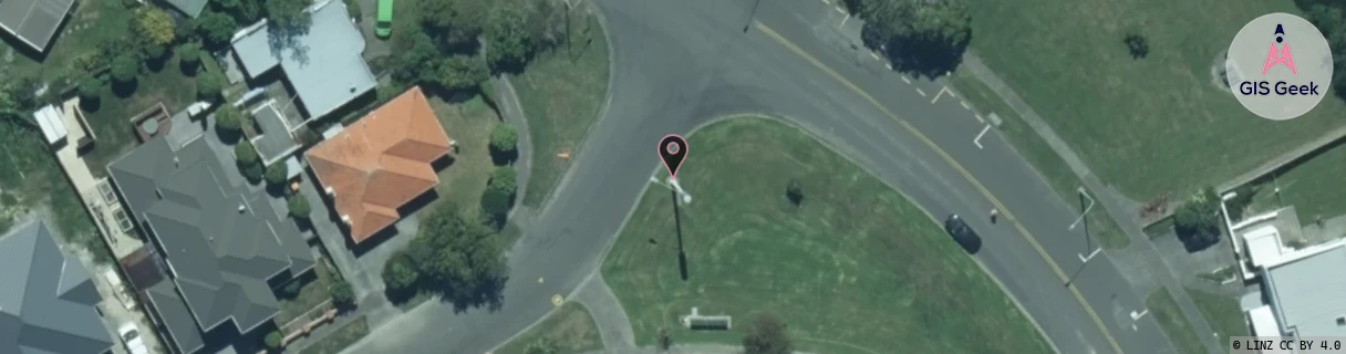
Location Raw Name: (MNW-040-020-B)[HKWL]_HOKOWHITU LAGOON
GIS Geek | LINZ | GMaps | Street View
Login required to upload photos or suggest corrections.
Closest Towers
| Provider | Location Name | Distance | Bearing |
|---|---|---|---|
| Spark | Hokowhitu | 530m | 60.03 |
| OneNZ | Hokowhitu | 270m | 86.17 |
| 2Degrees | Hokowhitu East | 984m | 33.06 |
| RCG | RMWAKV - Aokautere Valley | 5.92km | 117.8 |
Licence Details
Close Cell IDs 2Degrees MMC: 530 MNC: 24
| Radio | Area | Cell | Distance from tower | Bearing from tower | Samples |
|---|---|---|---|---|---|
| UMTS | 22213 | 376433 | 345m | 216.67 | 1 |
| UMTS | 22213 | 377035 | 380m | 289.27 | 4 |
| UMTS | 22213 | 377039 | 543m | 8.64 | 2 |
| UMTS | 22213 | 1648132 | 440m | 263.58 | 1 |
| LTE | 62213 | 1648131 | 440m | 263.58 | 1 |
| LTE | 62213 | 1649411 | 440m | 263.58 | 1 |
| LTE | 62213 | 1648899 | 440m | 263.58 | 1 |
| UMTS | 22213 | 357039 | 574m | 13.24 | 3 |
| LTE | 62213 | 1646854 | 618m | 353.46 | 1 |
| UMTS | 22213 | 377053 | 604m | 138.95 | 3 |