Location Overview
The OneNZ Green Island ONZ S5GIS location is 16m high, has 7 licences associated, and is capable* of 2G GSM, 3G UMTS, 4G LTE and 5G.
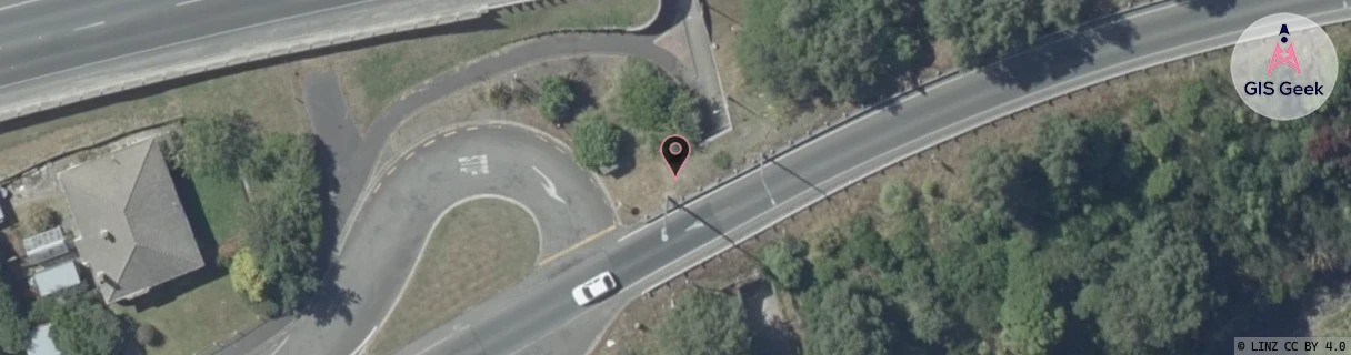
GIS Geek | LINZ | GMaps | Street View
Login required to upload photos or suggest corrections.
Closest Towers
| Provider | Location Name | Distance | Bearing |
|---|---|---|---|
| Spark | Green Island | 1.86km | 120.49 |
| OneNZ | Waldronville | 2.22km | 196.5 |
| 2Degrees | Abbotsford | 1000m | 152.48 |
| RCG | ROTOUT - Outram | 16.18km | 287.87 |
Licence Details
Close Cell IDs OneNZ MMC: 530 MNC: 1
| Radio | Area | Cell | Distance from tower | Bearing from tower | Samples |
|---|---|---|---|---|---|
| UMTS | 1308 | 19783644 | 53m | 87.18 | 3 |
| UMTS | 1308 | 19762902 | 157m | 354.08 | 5 |
| UMTS | 1308 | 19783641 | 159m | 345.96 | 4 |
| LTE | 45184 | 299521 | 200m | 311.13 | 3 |
| GSM | 23 | 24151 | 244m | 76.36 | 6 |
| GSM | 23 | 22732 | 676m | 295.33 | 196 |
| UMTS | 1308 | 19762898 | 644m | 85 | 2 |
| UMTS | 1308 | 19729393 | 682m | 276.05 | 17 |
| UMTS | 1308 | 19766233 | 728m | 88.13 | 15 |
| UMTS | 1308 | 19786662 | 749m | 76.99 | 17 |
| UMTS | 1308 | 19786665 | 779m | 286.03 | 12 |
| LTE | 45184 | 1245699 | 817m | 270.44 | 7 |
| LTE | 45184 | 299523 | 1.06km | 263.25 | 16 |
| UMTS | 1308 | 19783642 | 1.12km | 89.61 | 21 |