Location Overview
The 2Degrees Mamaku location is 18m high, has 5 licences associated, and is capable* of 3G UMTS and 4G LTE.
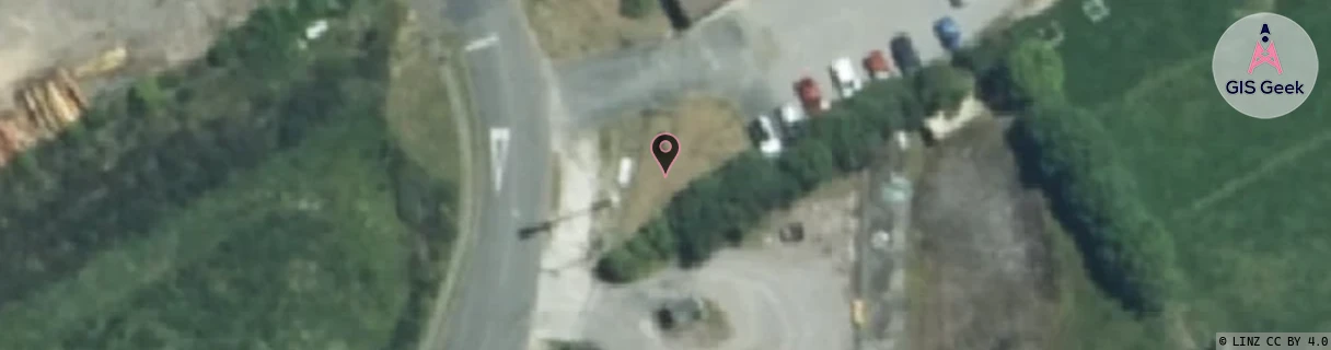
Location Raw Name: (BOP-024-048-A)[MAMT]_MAMAKU
GIS Geek | LINZ | GMaps | Street View
Login required to upload photos or suggest corrections.
Closest Towers
| Provider | Location Name | Distance | Bearing |
|---|---|---|---|
| Spark | Mamaku | 37m | 189.02 |
| OneNZ | Mamaku 2 | 6.09km | 343.26 |
| 2Degrees | S_Mamaku | 6.09km | 343.26 |
| RCG | RBPTAP - Tect All Terrain Park | 18.31km | 12.88 |
Licence Details
Close Cell IDs 2Degrees MMC: 530 MNC: 24
| Radio | Area | Cell | Distance from tower | Bearing from tower | Samples |
|---|---|---|---|---|---|
| UMTS | 22205 | 270114 | 3.74km | 31.78 | 1 |
| UMTS | 22205 | 270349 | 3.88km | 23.9 | 1 |
| UMTS | 22207 | 62381328 | 4.29km | 6.22 | 5 |
| LTE | 62207 | 1820185 | 4.01km | 50.11 | 89 |
| UMTS | 22207 | 728451 | 4.2km | 57.63 | 18 |
| LTE | 62207 | 1820165 | 4.93km | 353.24 | 1 |
| UMTS | 22207 | 269699 | 4.93km | 353.24 | 1 |
| LTE | 62207 | 270734 | 5.3km | 347.31 | 50 |
| UMTS | 22205 | 281343 | 4.73km | 64.53 | 1 |
| LTE | 62207 | 2962457 | 4.89km | 61.77 | 50 |