Location Overview
The 2Degrees Wigram Skies location is 25m high, has 7 licences associated, and is capable* of 3G UMTS, 4G LTE and 5G.
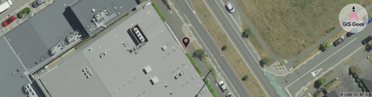
Location has been manually adjusted based on user feedback.
Location Raw Name: (CHC-060-125-A)[WIGS]_WIGRAM SKIES
GIS Geek | LINZ | GMaps | Street View
Login required to upload photos or suggest corrections.
Closest Towers
| Provider | Location Name | Distance | Bearing |
|---|---|---|---|
| Spark | Christchurch Southern Motorway | 1.41km | 195.22 |
| OneNZ | Aidanfield | 855m | 120.61 |
| 2Degrees | Sockburn | 1.33km | 347.16 |
| RCG | RCTGBV - Gebbies Valley | 20.26km | 172.34 |
Licence Details
Close Cell IDs 2Degrees MMC: 530 MNC: 24
| Radio | Area | Cell | Distance from tower | Bearing from tower | Samples |
|---|---|---|---|---|---|
| UMTS | 30002 | 181560 | 106m | 124.09 | 2 |
| UMTS | 30002 | 181620 | 235m | 348.95 | 1 |
| UMTS | 30002 | 181817 | 387m | 353.27 | 2 |
| UMTS | 30002 | 181555 | 380m | 60.56 | 2 |
| UMTS | 30001 | 161560 | 527m | 359.08 | 124 |
| UMTS | 30002 | 181651 | 539m | 355.17 | 1 |
| UMTS | 30002 | 181719 | 482m | 132.49 | 1 |
| LTE | 255 | 1672196 | 489m | 228.51 | 2 |
| UMTS | 30001 | 181613 | 576m | 42.13 | 20 |
| LTE | 63001 | 1810536 | 646m | 91.02 | 12 |
| UMTS | 30001 | 181555 | 942m | 171.2 | 85 |
| UMTS | 30002 | 181707 | 859m | 133.58 | 1 |
| UMTS | 30001 | 181707 | 794m | 117.27 | 30 |
| GSM | 60 | 30473 | 772m | 110.79 | 67 |