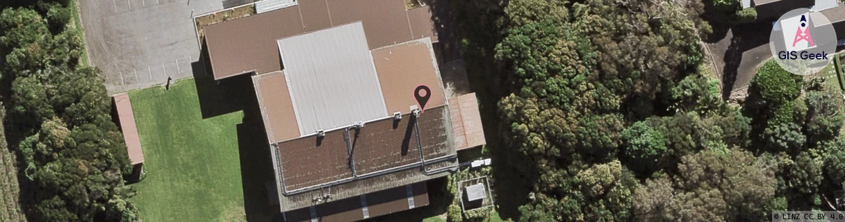
Location Overview
The 2Degrees Mangere Bridge West location is 12m high, has 4 licences associated, and is capable* of 3G UMTS and 4G LTE.
Location Raw Name: (AKL-008-084-E)[MGBT]_MANGERE BRIDGE WEST
GIS Geek | LINZ | GMaps | Street View
Login required to upload photos or suggest corrections.
Closest Towers
| Provider | Location Name | Distance | Bearing |
|---|---|---|---|
| Spark | Mangere Bridge | 95m | 317.23 |
| OneNZ | Mangere Bridge ONZ A8MGB | 582m | 11.83 |
| 2Degrees | Mangere Bridge | 1.41km | 87.72 |
| RCG | RAKMNB - Manawa Bay | 5.93km | 157.8 |
Licence Details
Close Cell IDs 2Degrees MMC: 530 MNC: 24
| Radio | Area | Cell | Distance from tower | Bearing from tower | Samples |
|---|---|---|---|---|---|
| UMTS | 10005 | 601262 | 188m | 214.68 | 1 |
| UMTS | 10003 | 66974 | 382m | 220.03 | 1 |
| LTE | 61005 | 1559044 | 486m | 209.75 | 11 |
| UMTS | 10005 | 591257 | 534m | 214.03 | 9 |
| UMTS | 10003 | 65787 | 509m | 122.57 | 1 |
| UMTS | 10005 | 591592 | 769m | 344.22 | 14 |
| UMTS | 10007 | 591257 | 772m | 222.57 | 1 |
| UMTS | 10004 | 66975 | 717m | 279.11 | 1 |