Location Overview
The 2Degrees Harbour Bridge Sth location is 13m high, has 6 licences associated, and is capable* of 3G UMTS, 4G LTE and 5G.
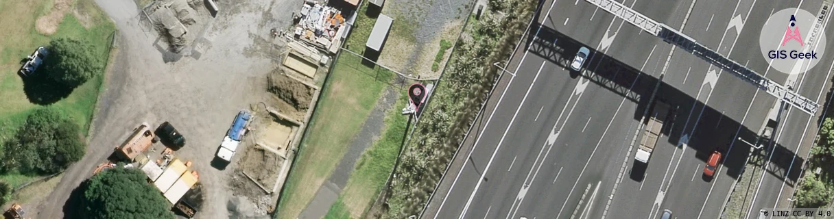
Location Raw Name: (AKL-007-065-D)[HBRS]_HARBOUR BRIDGE STH
GIS Geek | LINZ | GMaps | Street View
Login required to upload photos or suggest corrections.
Closest Towers
| Provider | Location Name | Distance | Bearing |
|---|---|---|---|
| Spark | Harbour Bridge South | 86m | 27.18 |
| OneNZ | Curran Street VF A3CRS | 455m | 203.66 |
| 2Degrees | Harbour Bridge | 743m | 30.8 |
| RCG | RAKSSJ - Summerset St John | 9.54km | 114.85 |
Licence Details
Close Cell IDs 2Degrees MMC: 530 MNC: 24
| Radio | Area | Cell | Distance from tower | Bearing from tower | Samples |
|---|---|---|---|---|---|
| LTE | 61002 | 2618121 | 107m | 55.22 | 3 |
| GSM | 31 | 40702 | 152m | 35.45 | 1 |
| LTE | 61002 | 2868761 | 138m | 250.05 | 7 |
| LTE | 61001 | 559758 | 209m | 176.49 | 1 |
| UMTS | 10001 | 1579530 | 209m | 176.49 | 1 |
| LTE | 61002 | 2868486 | 195m | 222.82 | 20 |
| UMTS | 10002 | 67080 | 192m | 65.72 | 4 |
| LTE | 61002 | 2738969 | 232m | 199.39 | 13 |
| UMTS | 1901 | 80945 | 256m | 174.1 | 1 |
| LTE | 61002 | 2572037 | 259m | 94.17 | 25 |
| LTE | 61002 | 2868759 | 335m | 140.2 | 32 |
| LTE | 61002 | 1617420 | 299m | 106.79 | 9 |