Location Overview
The 2Degrees Whakatane North location is 12m high, has 5 licences associated, and is capable* of 3G UMTS and 4G LTE.
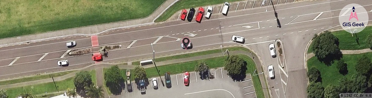
Location has been manually adjusted based on user feedback.
Location Raw Name: (BOP-025-002-A)[WKNT]_WHAKATANE NORTH
GIS Geek | LINZ | GMaps | Street View
Login required to upload photos or suggest corrections.
Closest Towers
| Provider | Location Name | Distance | Bearing |
|---|---|---|---|
| Spark | Piripai | 1.22km | 302.77 |
| OneNZ | Whakatane Central VF C6WKC | 51m | 59.75 |
| 2Degrees | Whakatane Central | 1.13km | 216.23 |
| RCG | RBPWNW - Wainui West | 9.37km | 146.96 |
Licence Details
Close Cell IDs 2Degrees MMC: 530 MNC: 24
| Radio | Area | Cell | Distance from tower | Bearing from tower | Samples |
|---|---|---|---|---|---|
| LTE | 62205 | 1663750 | 124m | 242.89 | 2 |
| UMTS | 22205 | 270061 | 227m | 86.92 | 1 |
| UMTS | 22205 | 279861 | 401m | 164.51 | 14 |
| LTE | 62205 | 1663746 | 721m | 72.31 | 3 |
| UMTS | 22205 | 270055 | 740m | 103.4 | 2 |
| UMTS | 22205 | 1663748 | 913m | 227.97 | 1 |
| UMTS | 22205 | 280061 | 830m | 89.16 | 4 |
| LTE | 62205 | 1663748 | 956m | 234.78 | 7 |
| UMTS | 22205 | 280062 | 1.36km | 228.51 | 5 |
| UMTS | 22205 | 280265 | 1.55km | 163.81 | 1 |