Location Overview
The 2Degrees Farm Cove location is 14m high, has 5 licences associated, and is capable* of 3G UMTS and 4G LTE.
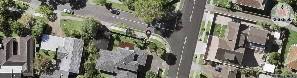
Location Raw Name: (AKL-008-035-C)[FRMC]_FARM COVE
GIS Geek | LINZ | GMaps | Street View
Login required to upload photos or suggest corrections.
Closest Towers
| Provider | Location Name | Distance | Bearing |
|---|---|---|---|
| Spark | Farm Cove | 232m | 350.59 |
| OneNZ | Farm Cove | 257m | 347.31 |
| 2Degrees | Sunnyhills | 1.23km | 194.99 |
| RCG | RAKSSJ - Summerset St John | 5.2km | 302.96 |
Licence Details
Close Cell IDs 2Degrees MMC: 530 MNC: 24
| Radio | Area | Cell | Distance from tower | Bearing from tower | Samples |
|---|---|---|---|---|---|
| LTE | 61005 | 2659079 | 293m | 118.57 | 42 |
| LTE | 61005 | 2622999 | 348m | 238.83 | 5 |
| UMTS | 10007 | 1699586 | 476m | 116.71 | 1 |
| UMTS | 10007 | 1701378 | 476m | 110.3 | 1 |
| UMTS | 10003 | 66473 | 469m | 280.96 | 1 |
| LTE | 61005 | 2659349 | 570m | 157.59 | 16 |
| LTE | 61002 | 2629143 | 479m | 262.98 | 5 |
| UMTS | 10005 | 600762 | 596m | 99.26 | 2 |
| LTE | 61005 | 2659074 | 676m | 136.15 | 97 |
| UMTS | 10005 | 272461 | 810m | 171.65 | 4 |