Location Overview
The 2Degrees Avonside location is 14m high, has 5 licences associated, and is capable* of 3G UMTS and 4G LTE.
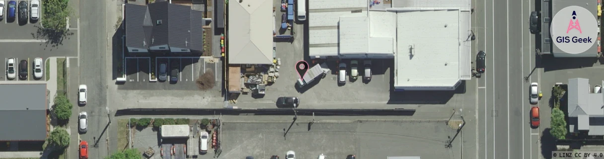
Location has been manually adjusted based on user feedback.
Location Raw Name: (CHC-060-060-C)[AVON]_AVONSIDE
GIS Geek | LINZ | GMaps | Street View
Login required to upload photos or suggest corrections.
Closest Towers
| Provider | Location Name | Distance | Bearing |
|---|---|---|---|
| Spark | Stanmore Road ~K5Hx~ | 284m | 355.57 |
| OneNZ | Bealey Ave East VF S3BAE | 186m | 172.23 |
| 2Degrees | Avonside West | 886m | 237.58 |
| RCG | RCTTPI - The Pines Beach | 16.02km | 11.72 |
Licence Details
Close Cell IDs 2Degrees MMC: 530 MNC: 24
| Radio | Area | Cell | Distance from tower | Bearing from tower | Samples |
|---|---|---|---|---|---|
| UMTS | 30002 | 19790931 | 125m | 31.89 | 1 |
| UMTS | 30002 | 181786 | 153m | 201.81 | 11 |
| UMTS | 30002 | 161669 | 268m | 353.42 | 3 |
| GSM | 28 | 20551 | 272m | 14.9 | 1 |
| GSM | 60 | 30593 | 384m | 201.47 | 12 |
| GSM | 60 | 30595 | 296m | 283.42 | 7 |
| UMTS | 30001 | 181667 | 304m | 286.43 | 1 |
| UMTS | 30002 | 1676550 | 304m | 286.43 | 1 |
| UMTS | 30002 | 19790932 | 380m | 146.96 | 1 |
| UMTS | 30002 | 181667 | 348m | 284.16 | 7 |