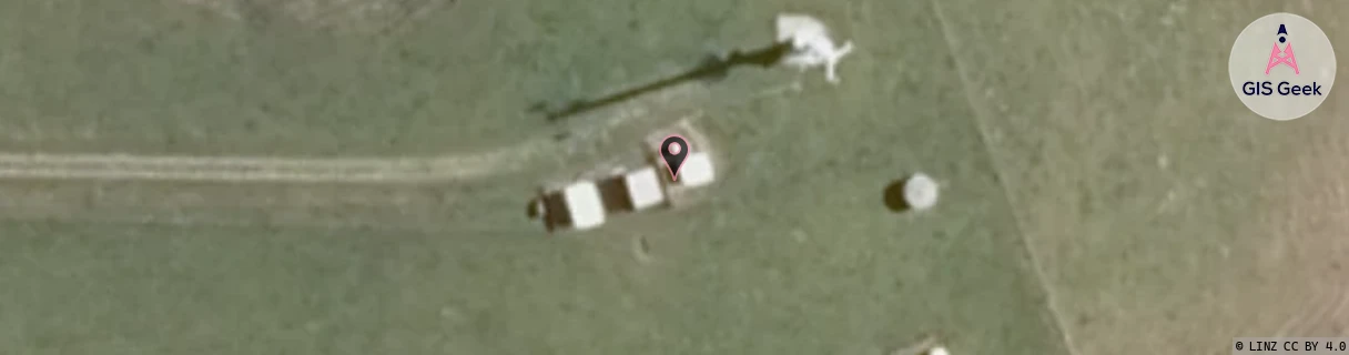
Location Overview
The Spark Browns Hill location is 29m high, has 4 licences associated, and is capable* of 3G UMTS and 4G LTE.
GIS Geek | LINZ | GMaps | Street View
Login required to upload photos or suggest corrections.
Closest Towers
| Provider | Location Name | Distance | Bearing |
|---|---|---|---|
| Spark | Kaikohe Exchange | 7.03km | 224.35 |
| OneNZ | Kaikohe (VF N1KKE) | 2.27km | 236.77 |
| 2Degrees | Kaikohe | 2.33km | 237.16 |
| RCG | RNLWAN - Waimate North | 6.52km | 21.58 |
Licence Details
Close Cell IDs Spark MMC: 530 MNC: 5
| Radio | Area | Cell | Distance from tower | Bearing from tower | Samples |
|---|---|---|---|---|---|
| UMTS | 12003 | 823305 | 1.85km | 168.58 | 1 |
| UMTS | 12003 | 823308 | 2.05km | 86.34 | 1 |
| LTE | 18161 | 484476 | 3.45km | 193.71 | 73 |
| UMTS | 18161 | 484473 | 4.1km | 213.08 | 4 |
| LTE | 18161 | 484465 | 3.61km | 75.05 | 93 |
| UMTS | 18399 | 823263 | 4.34km | 221.89 | 1 |
| LTE | 18161 | 484475 | 4.92km | 220.35 | 15 |
| LTE | 18161 | 484719 | 4.88km | 226.03 | 38 |