Location Overview
The 2Degrees Maoribank location is 19m high, has 6 licences associated, and is capable* of 3G UMTS, 4G LTE and 5G.
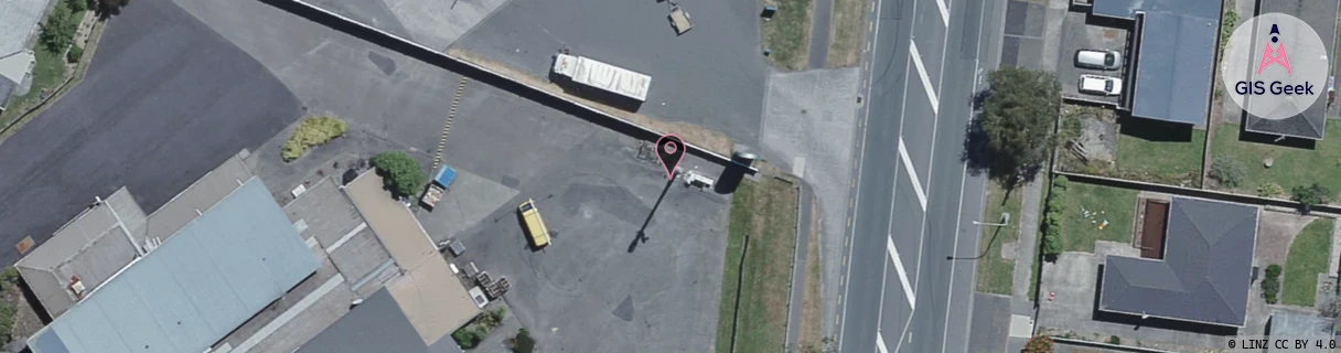
Location Raw Name: (WLG-045-003-A)[MAOR]_MAORIBANK
GIS Geek | LINZ | GMaps | Street View
Login required to upload photos or suggest corrections.
Closest Towers
| Provider | Location Name | Distance | Bearing |
|---|---|---|---|
| Spark | Upper Hutt City | 1.99km | 223.24 |
| OneNZ | Totara Park Farmland | 1.06km | 322.81 |
| 2Degrees | Birchville | 1.27km | 11.36 |
| RCG | RWLMAY - Maymorn | 3.29km | 87.27 |
Licence Details
Close Cell IDs 2Degrees MMC: 530 MNC: 24
| Radio | Area | Cell | Distance from tower | Bearing from tower | Samples |
|---|---|---|---|---|---|
| GSM | 818 | 18533 | 41m | 273.73 | 6 |
| UMTS | 22217 | 1704706 | 55m | 355 | 2 |
| UMTS | 20001 | 151410 | 113m | 143.3 | 1 |
| UMTS | 20001 | 171405 | 113m | 143.3 | 1 |
| LTE | 62217 | 2984710 | 137m | 183.68 | 7 |
| UMTS | 22217 | 368013 | 199m | 181.48 | 10 |
| LTE | 62217 | 1773572 | 161m | 105.53 | 44 |
| UMTS | 22214 | 368657 | 214m | 19.47 | 1 |
| UMTS | 22217 | 348018 | 262m | 175.12 | 8 |
| UMTS | 22217 | 368011 | 289m | 14.49 | 8 |
| LTE | 62217 | 1773571 | 234m | 101.45 | 2 |
| LTE | 62217 | 1773570 | 278m | 299.63 | 23 |