Location Overview
The 2Degrees Edgecumbe location is 15m high, has 5 licences associated, and is capable* of 3G UMTS and 4G LTE.
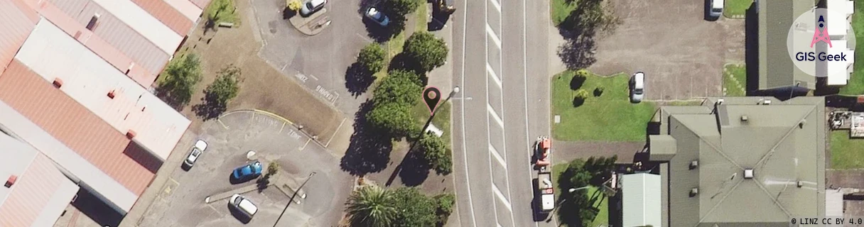
Location Raw Name: (BOP-025-033-C)[EDRU]_EDGECUMBE
GIS Geek | LINZ | GMaps | Street View
Login required to upload photos or suggest corrections.
Closest Towers
| Provider | Location Name | Distance | Bearing |
|---|---|---|---|
| Spark | Edgecumbe | 272m | 38.09 |
| OneNZ | Edgecumbe | 458m | 111.94 |
| 2Degrees | Thornton_Rbi | 4.83km | 2.67 |
| RCG | RBPMTT - Matata | 11.94km | 325.52 |
Licence Details
Close Cell IDs 2Degrees MMC: 530 MNC: 24
| Radio | Area | Cell | Distance from tower | Bearing from tower | Samples |
|---|---|---|---|---|---|
| GSM | 136 | 7702 | 1.33km | 97.5 | 11 |
| GSM | 136 | 36313 | 2.68km | 6.82 | 6 |
| GSM | 136 | 36232 | 2.5km | 125.79 | 13 |
| UMTS | 22205 | 270675 | 2.48km | 94.36 | 4 |
| UMTS | 22205 | 270347 | 3.26km | 167.98 | 4 |
| GSM | 136 | 36341 | 5.43km | 120 | 12 |
| UMTS | 22205 | 270681 | 6.24km | 203.09 | 2 |
| UMTS | 22205 | 270352 | 6.02km | 216.69 | 5 |
| UMTS | 22205 | 269859 | 5.64km | 111.22 | 2 |
| UMTS | 22205 | 280352 | 5.86km | 103.44 | 6 |